
Dreaming of spending a night in the middle of nowhere in the Alps? This hike is for you!
As most of you who regularly follow my social accounts know Paul and I have been doing lots of hikes this summer and we wanted to end the season with an epic – read hard one – to remember.
So naturally we picked the tour around the highest summit of the Maira valley – one of the most beautiful and uncontaminated valleys near my birth town, Cuneo. The Brec de Chambeyron is 3,389 m high and is a mountain of the Cottian Alps (Alpi Cozie) range at the border between Italy and France.
To go on longer treks – and especially with a sleeping bag and food for 2 days on my back – the organisation is key and I definitely had to add a new word to my packing vocabulary: minimalism!
If you want to stay at Refuge de Chambeyron make sure to book your space as it’s a popular destination amongst French hikers. You can find contact number and email HERE.
- Length: 28 km
- Min Elevation: 1,636 m
- Max Elevation: 3,109 m
- Total Ascent: 2,718 m
- Grade: EE (Expert Hikers)
- Equipment: Hiking boots, hiking outfit, sleeping bag, small toiletry bag, change of clothes, head-torch, power bank
- Dogs Allowed: No
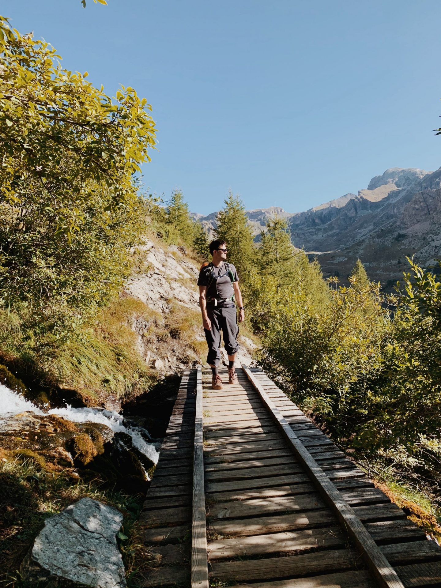
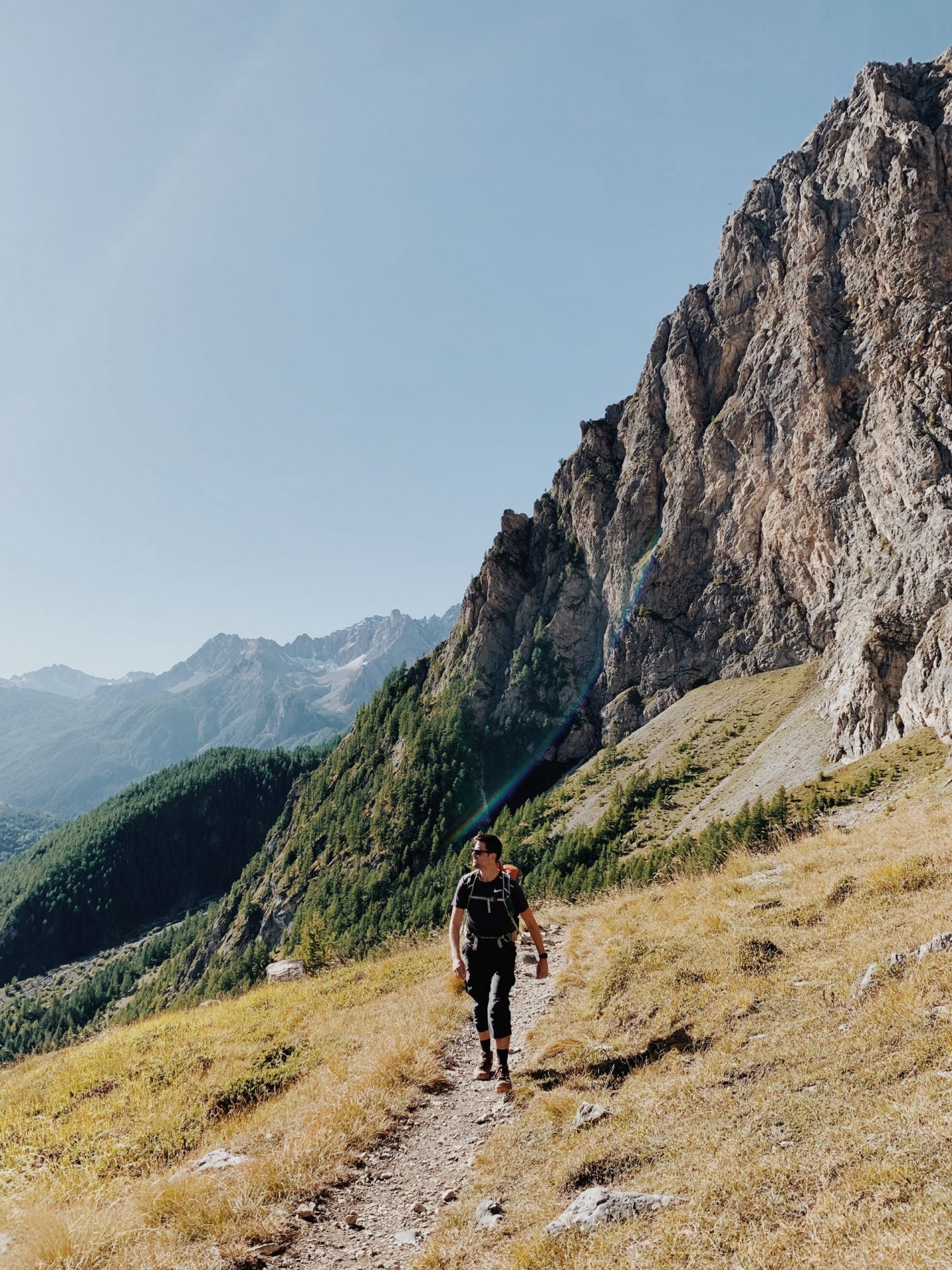
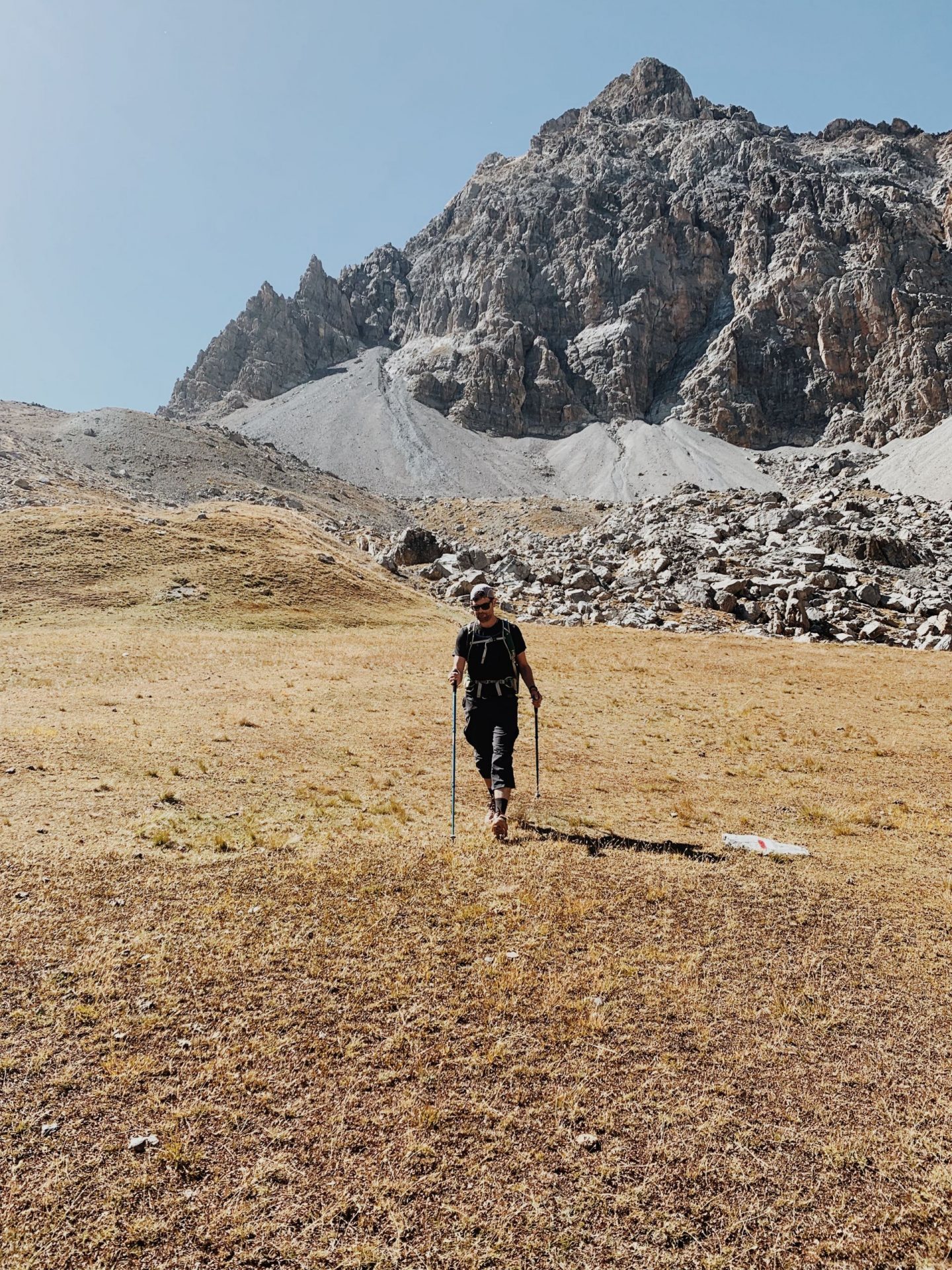
We set up the alarm for 7 am and we are out on our way soon after. The hike starts from the little town of Chiappera – from the Italian side – and we park the car at the Base Camp Refuge – 1,650 m.
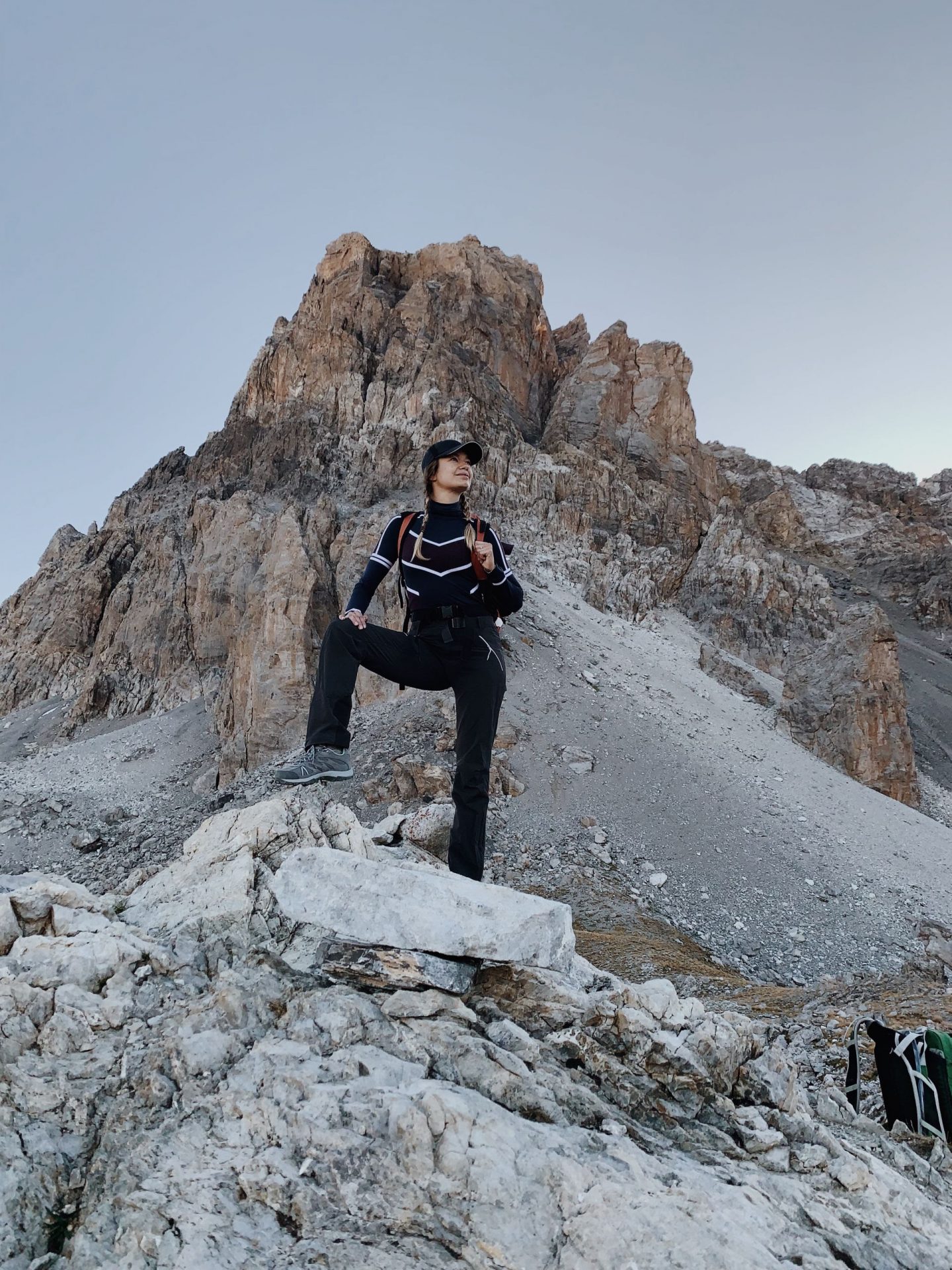
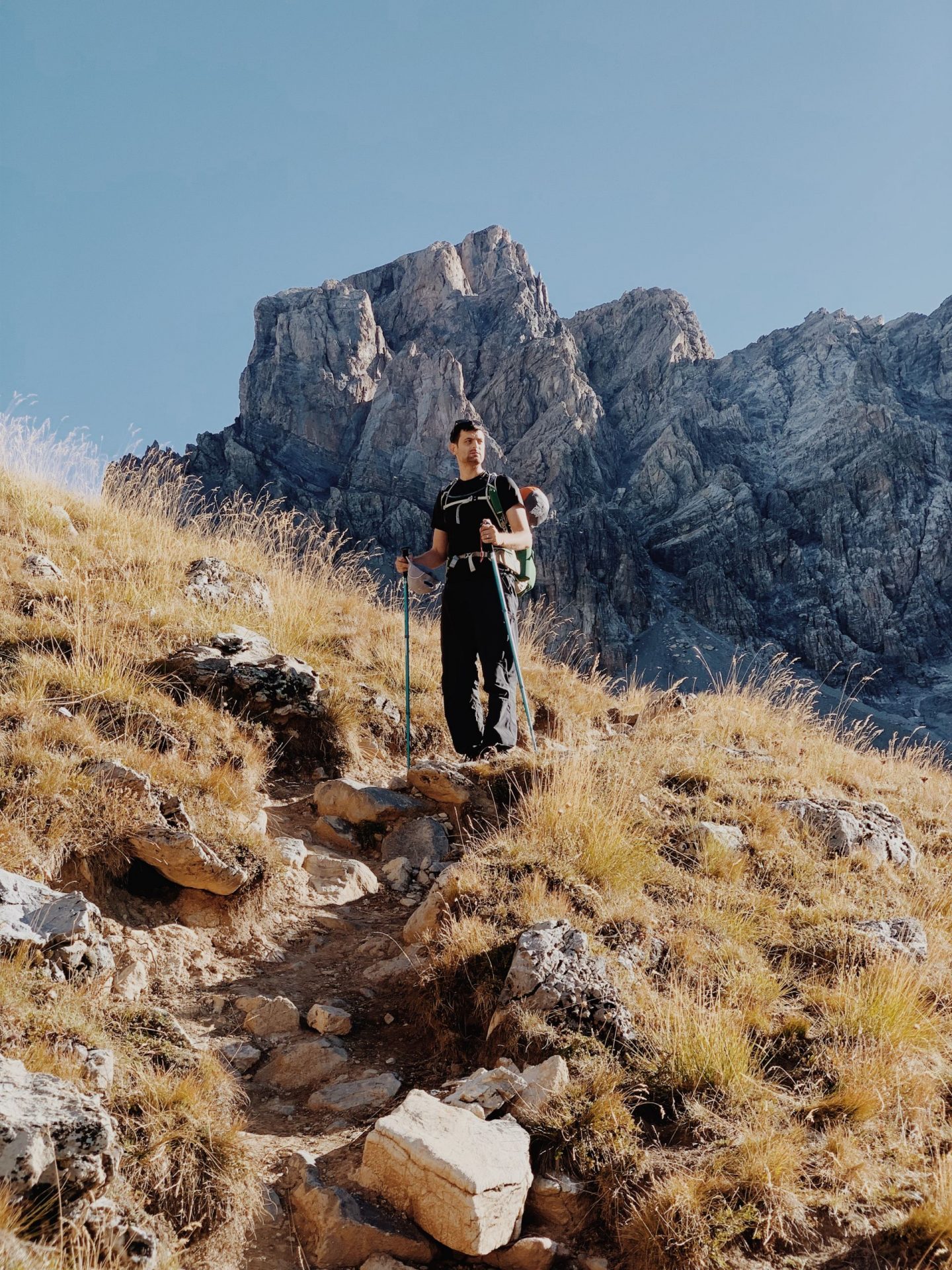
It’s a chilly morning of September and despite there’s no clouds in the sky, I am wearing several layers.
The ascent starts at Piana di Stroppia and goes up towards the homonymous waterfalls which are completely dry after the summer months.
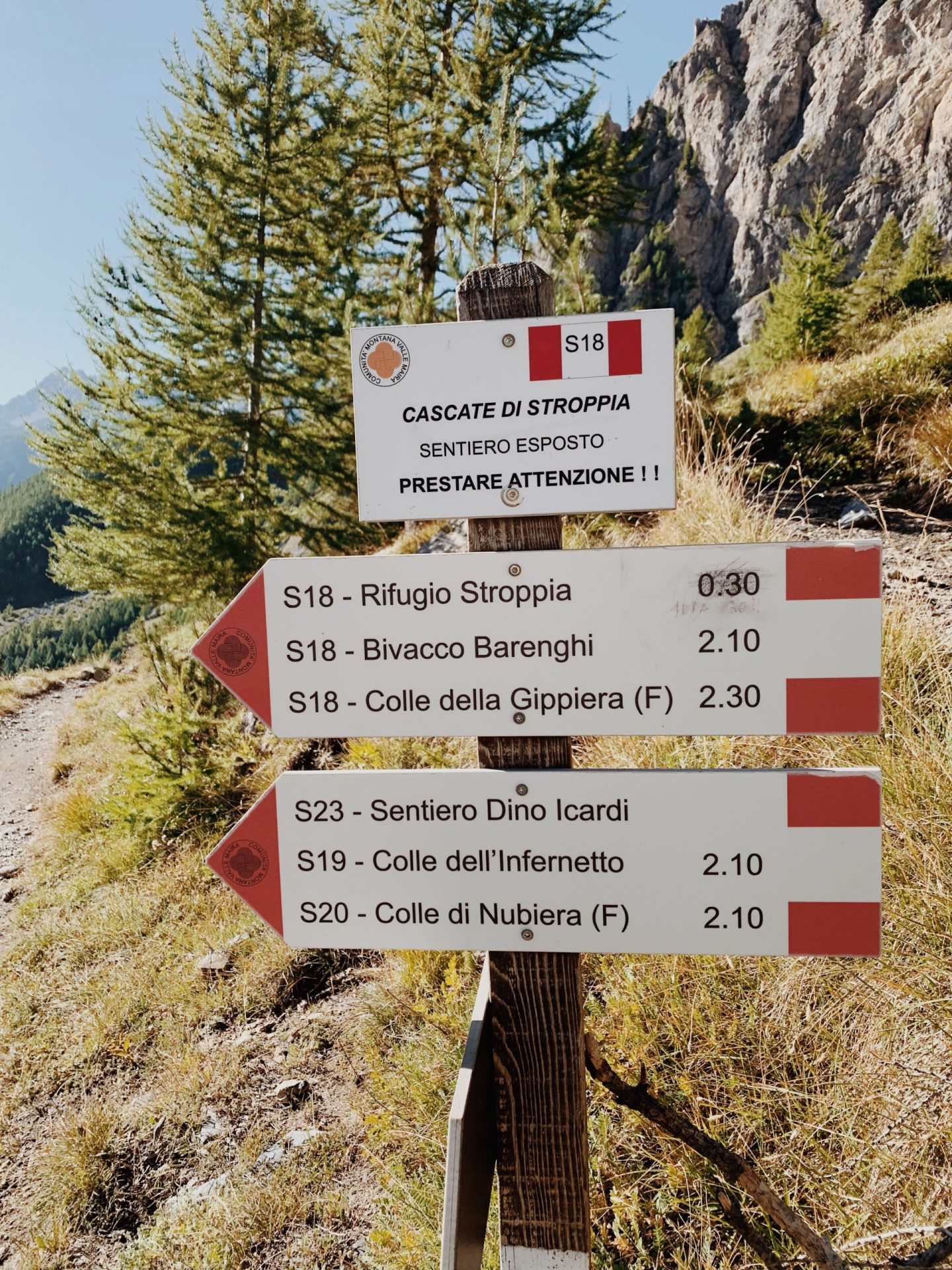
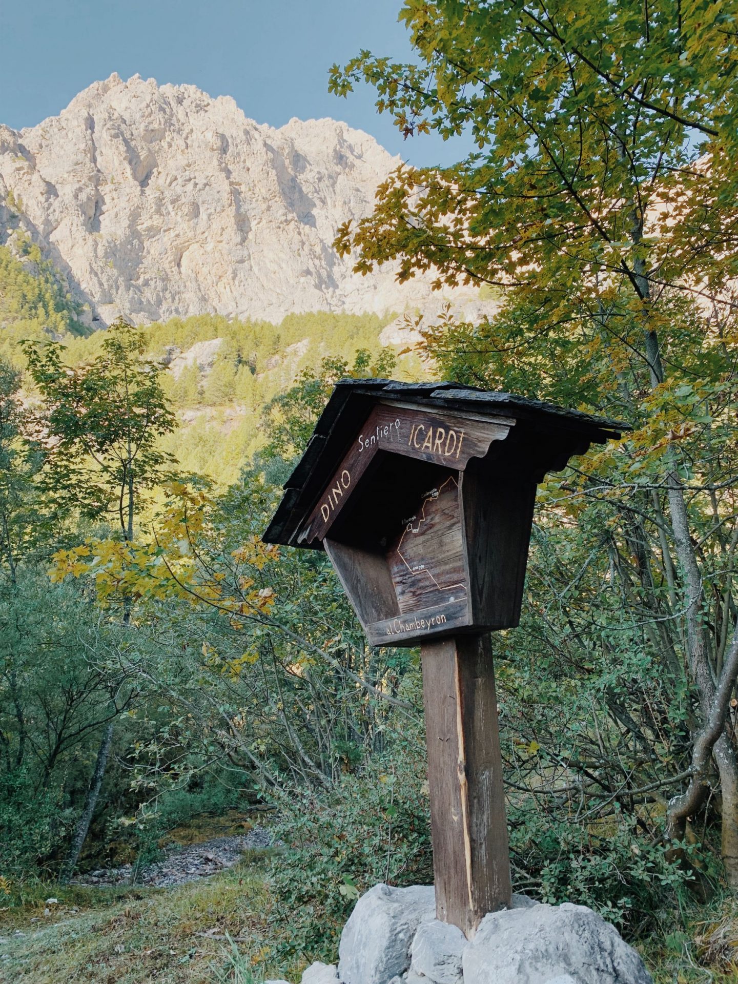
We follow the signs for the Stroppia Refuge (Rifugio Stroppia) and the blue-yellow paint indicating the “Dino Icardi” Path – and we’ll stay on it up to the Barenghi Bivouac, on the French border.
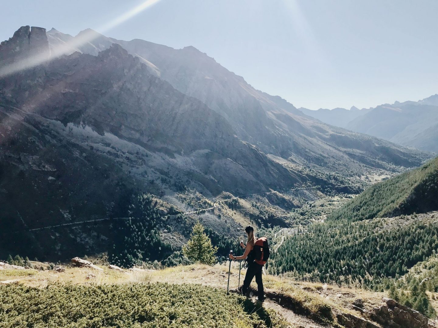
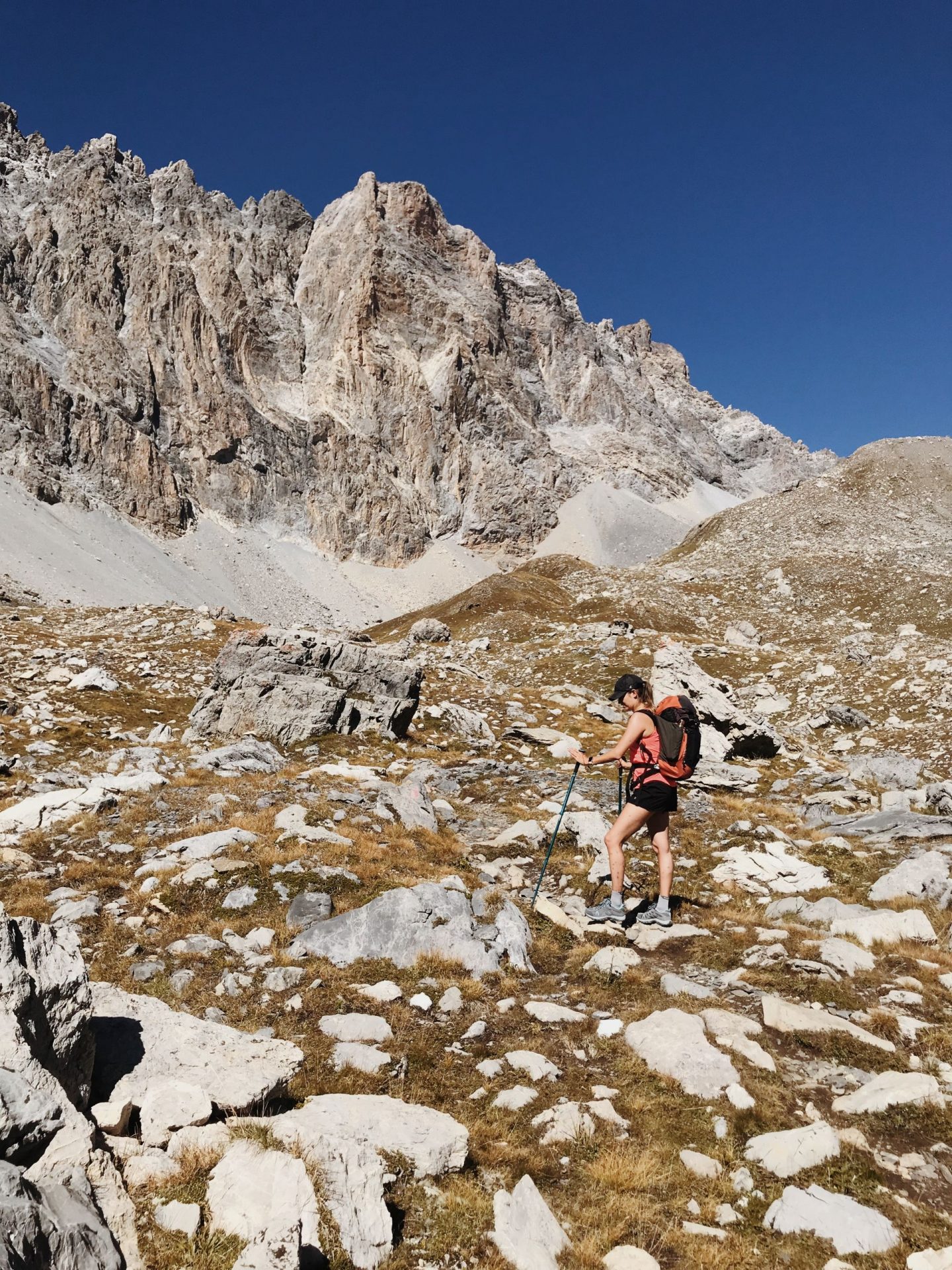
The trail is a climb up through lovely larch trees and with stunning views of the Provenzale-Castello massif, iconic mounts of the valley, behind us.
Soon after a short flat walk through a green plateau, the path climbs again up a steep slope by a cliff and on precarious debris and reaches the rocky bastion shaped by the Stroppia waterfalls.
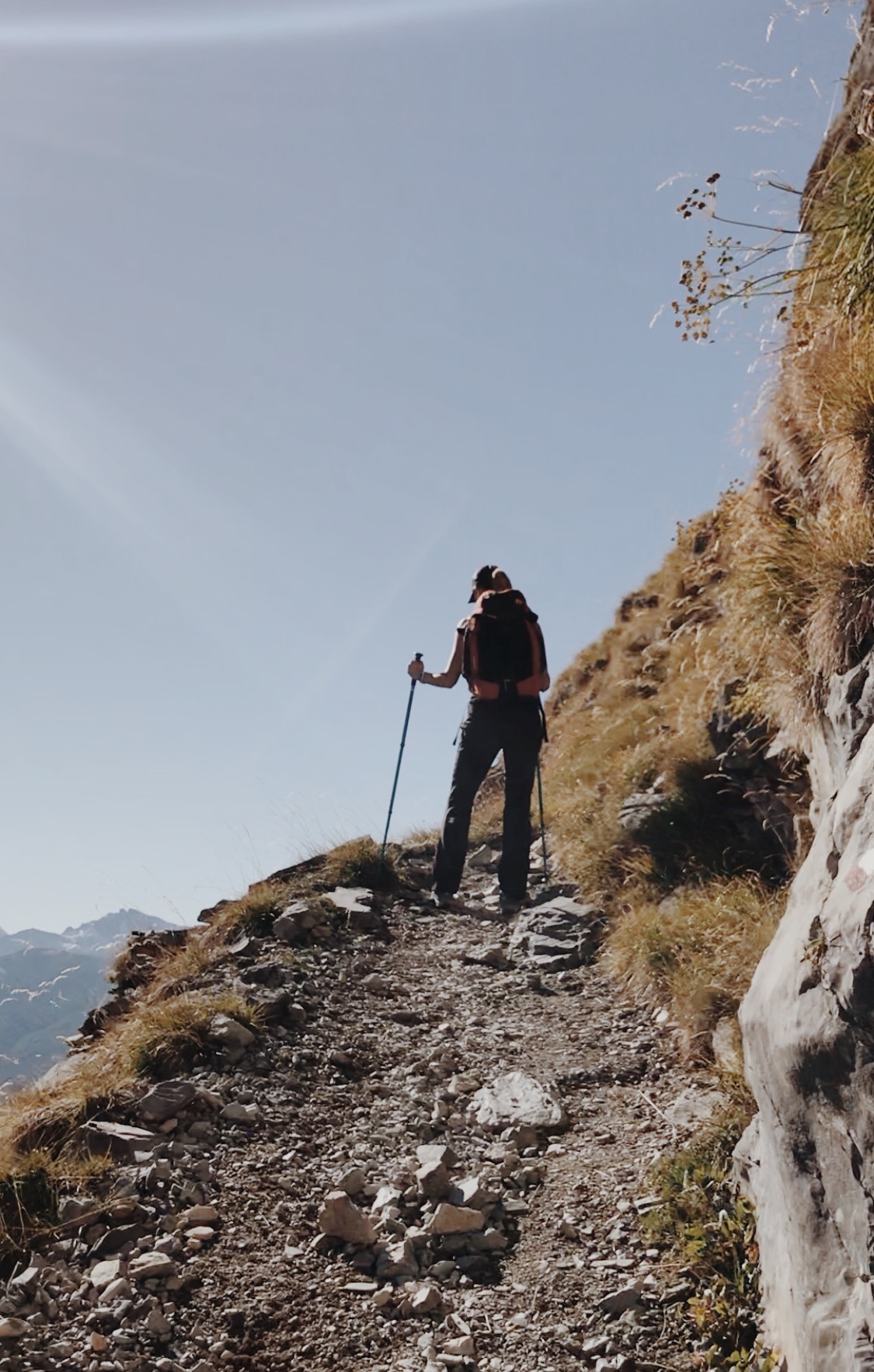
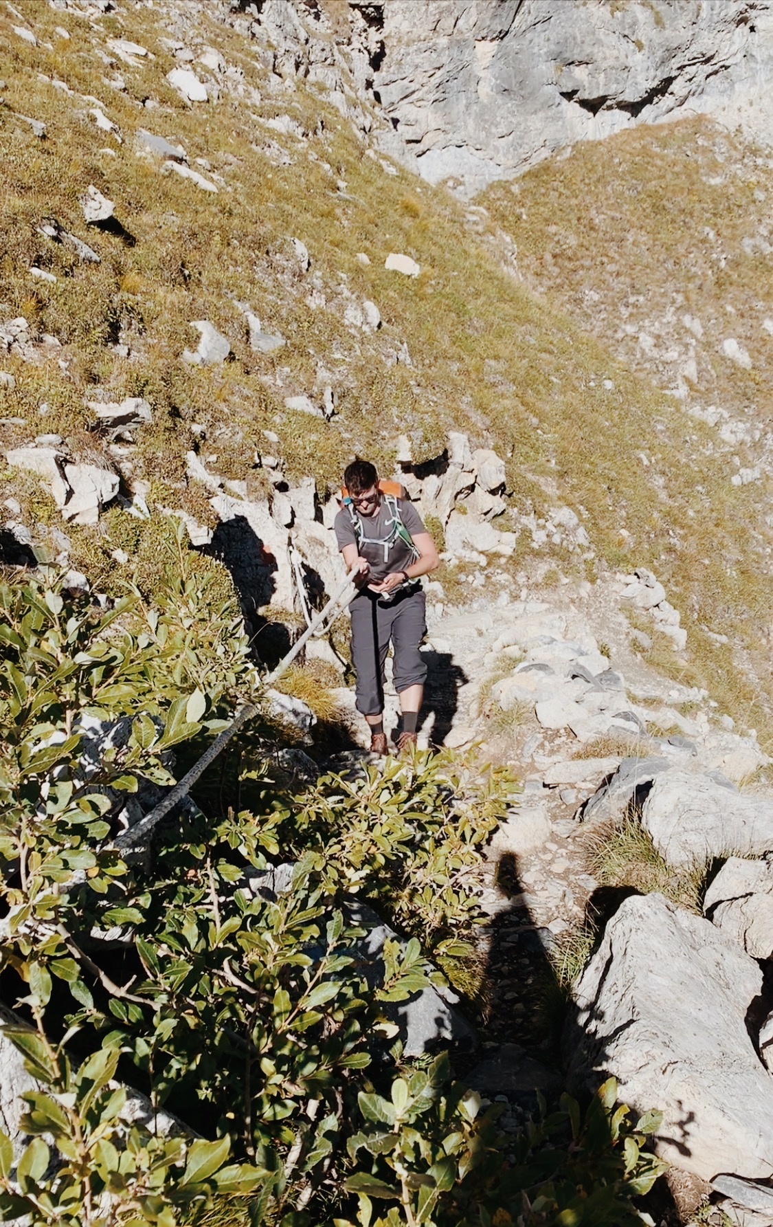
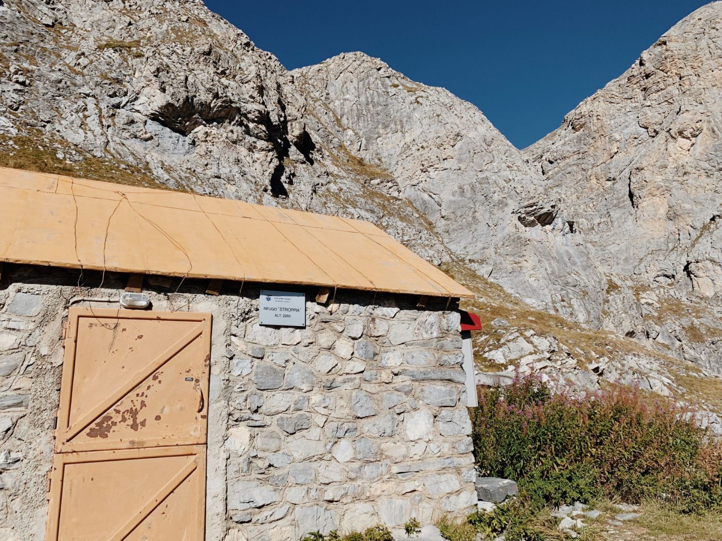
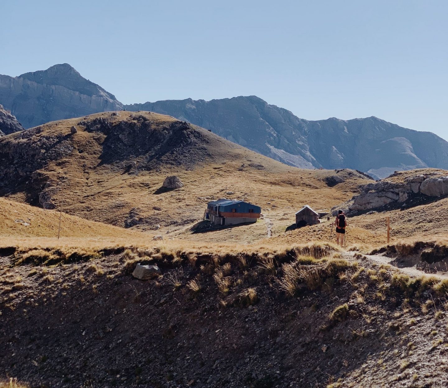
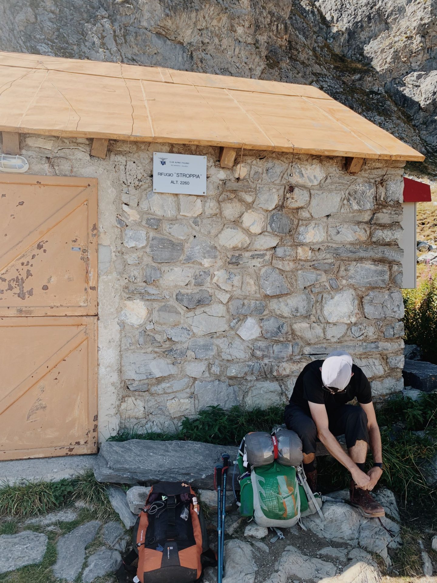
Our trail is now all on rocks and at times we need to use our hands to help us up. Despite being quite sketchy the view is truly striking and after a bit of effort we reach a grassy ledge where we find the Stroppia Refuge – 2260m – our first milestone.
Here we take a short break to take off some layers – it’s now 10am and the sun is fully up.
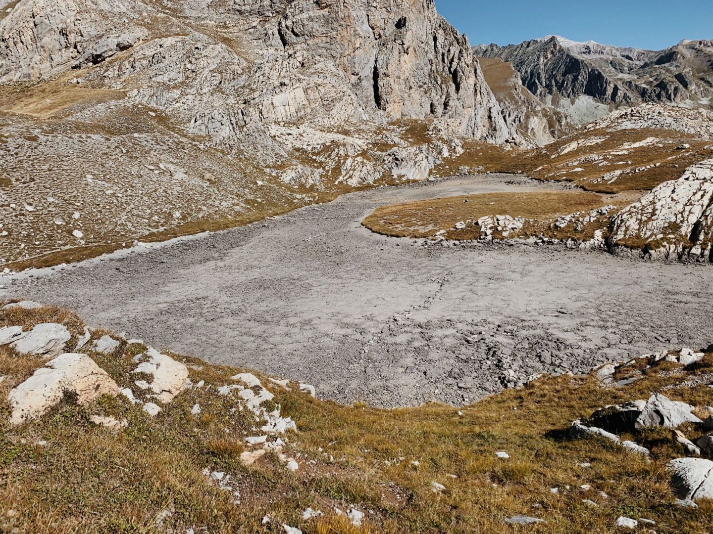
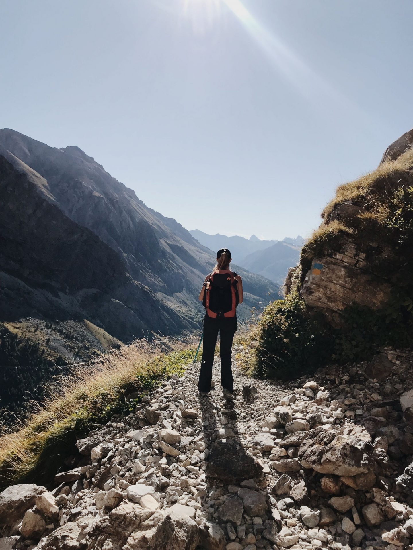
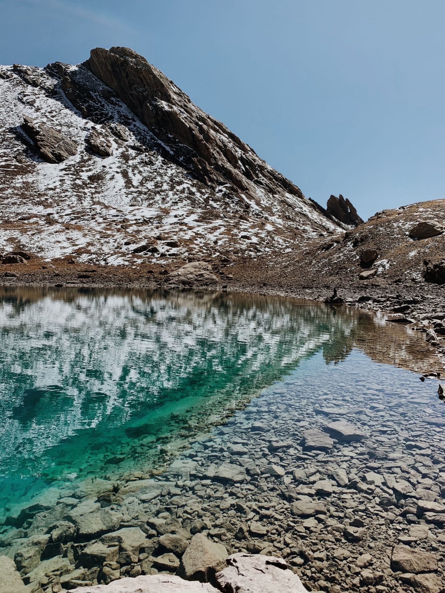
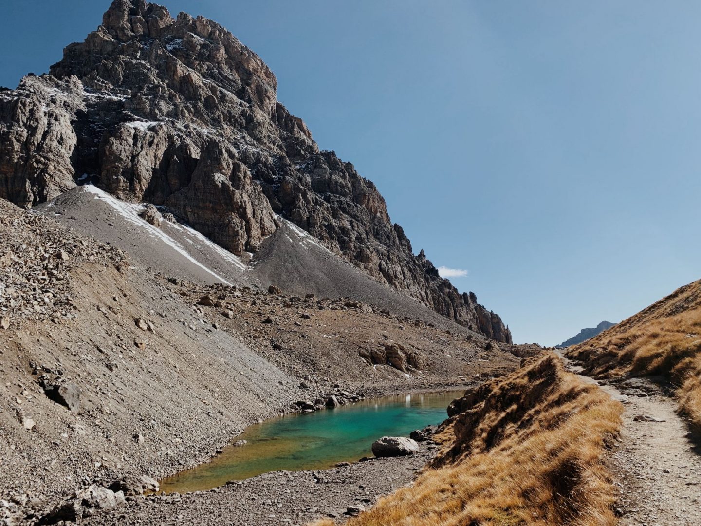
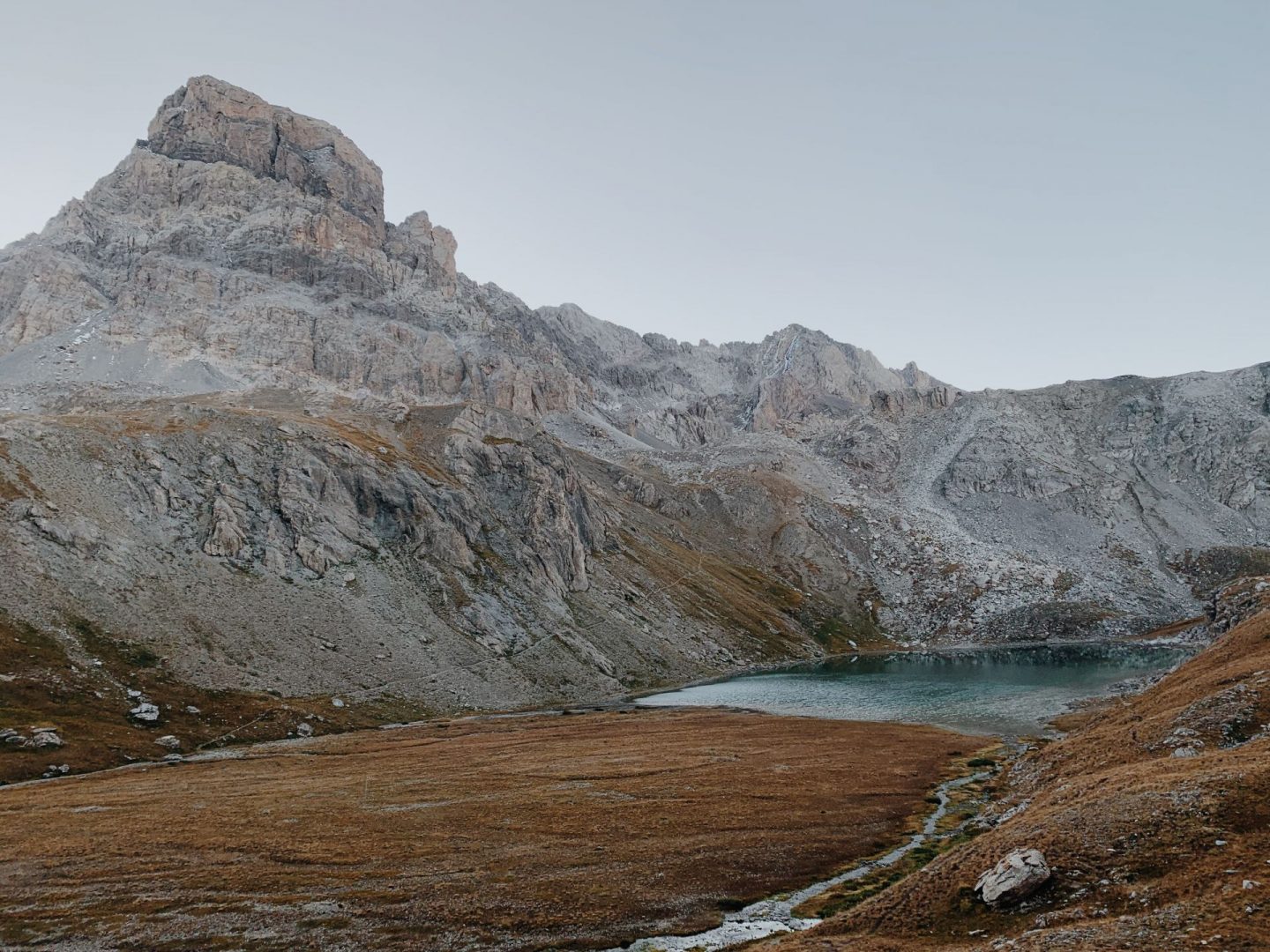
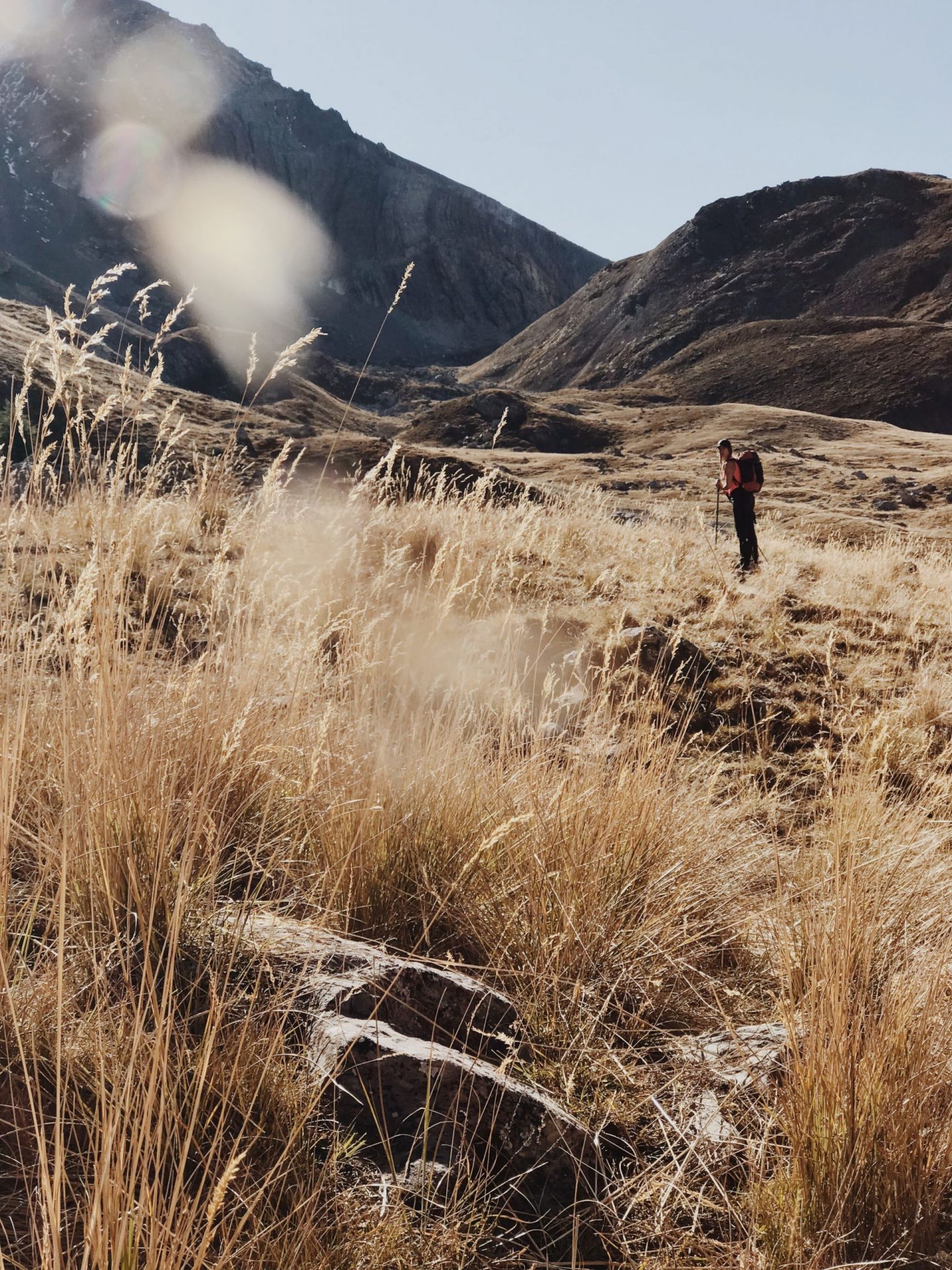
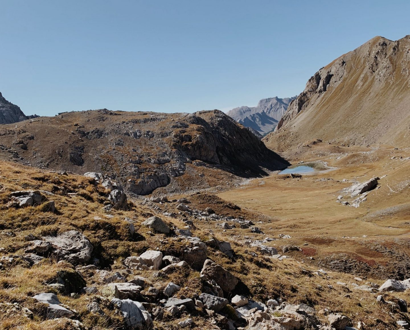
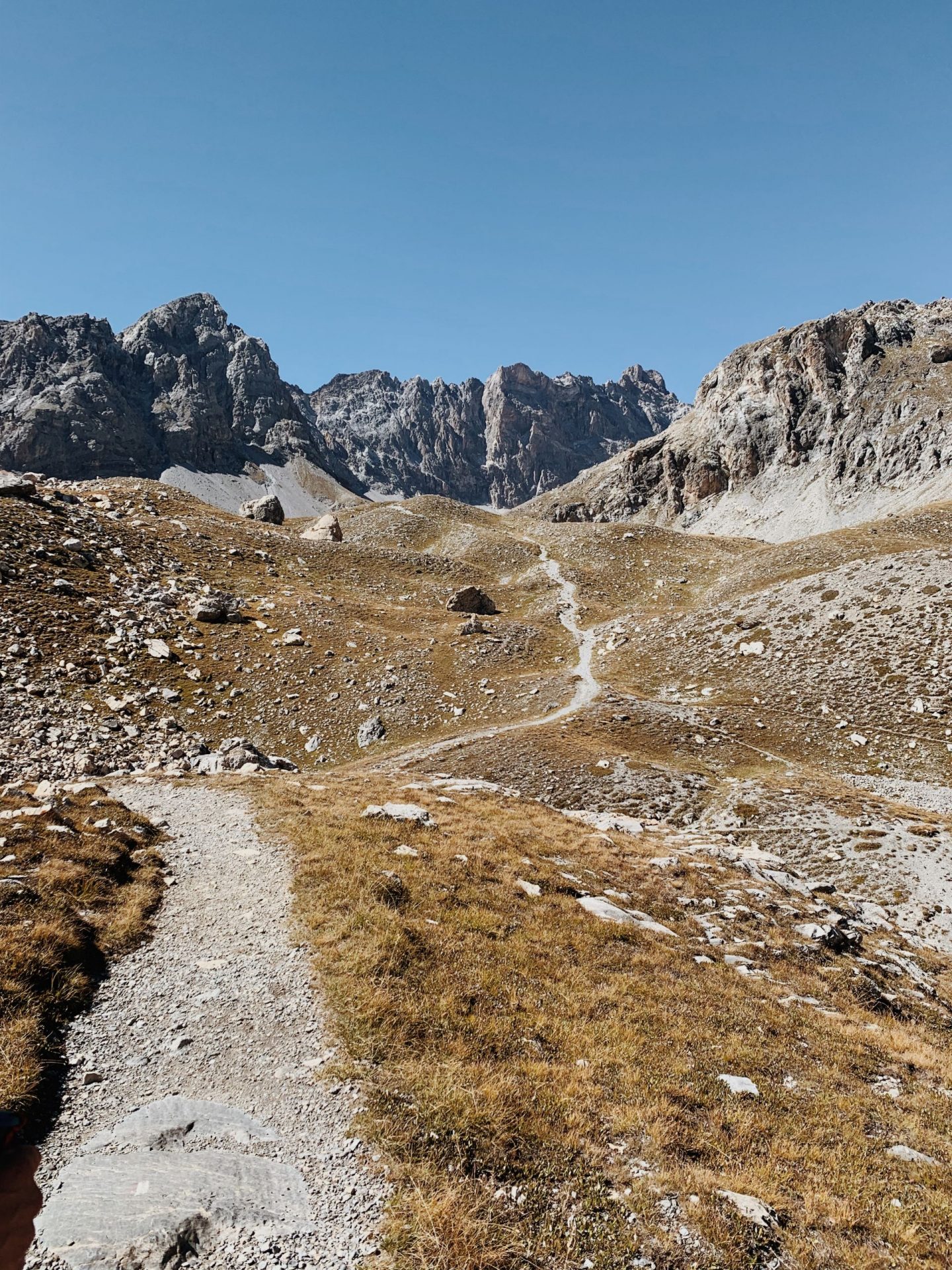
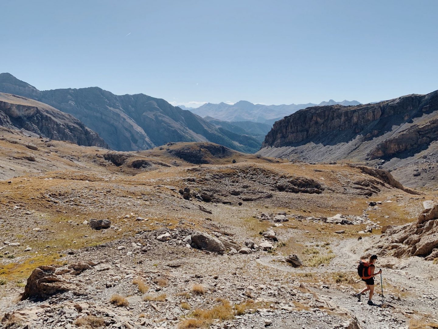
We then continue south up the jump of the Stroppia waterfall and through the flat “Donkey Pass” (Passo dell’Asino – 2,309 m) entering the “suspended” plateau of the Vallonasso di Stroppia, with a beautiful view on the tall peaks around it.
With a very short descent the path leads us to the western shore of Lake Niera – sadly completely dry in this season – then it winds on the undulating and detrital terrain of the long valley.
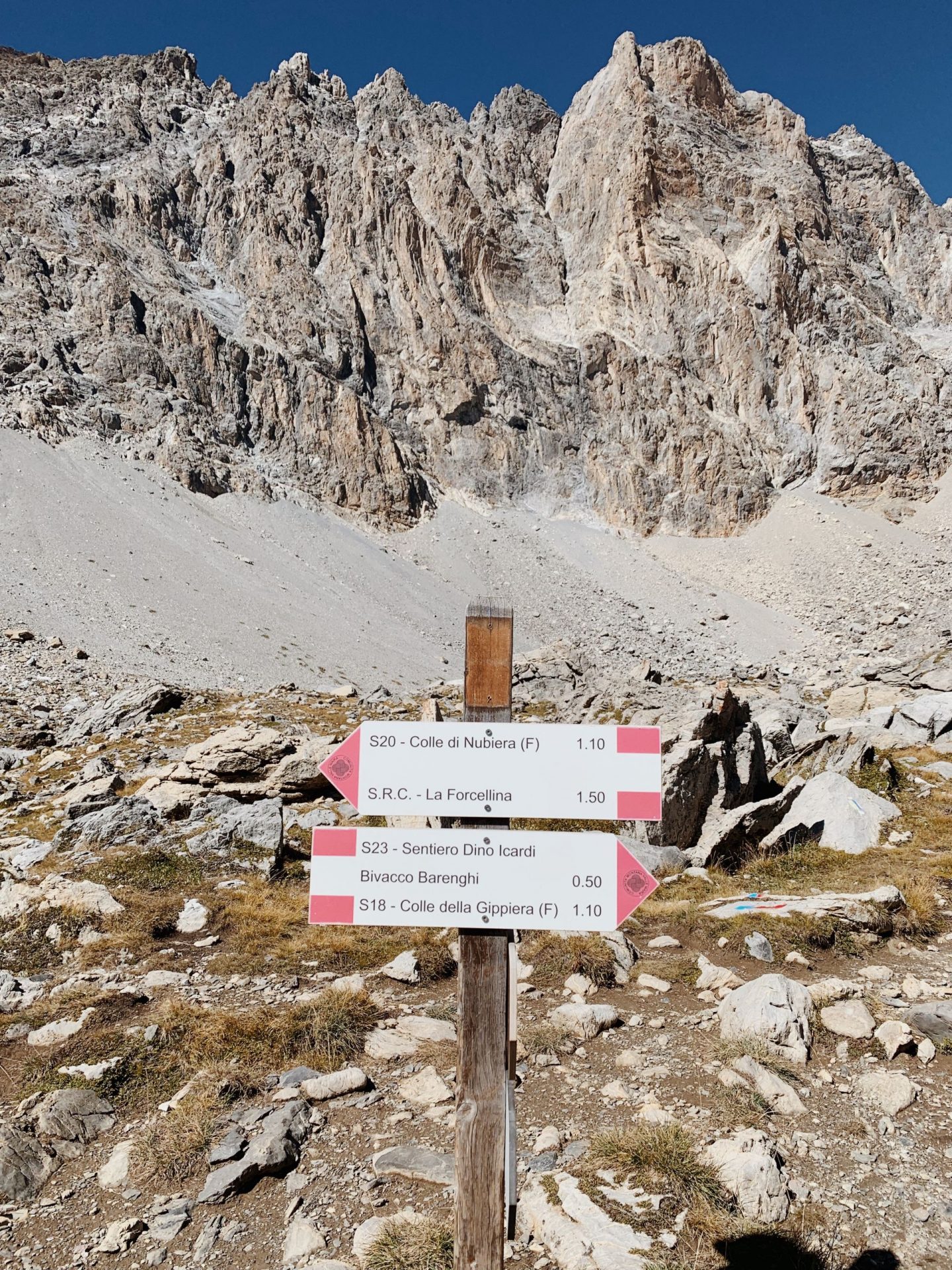
At the sign post we leave the Colle dell’Infernetto (Hell Pass) on our right to make our way towards the Barenghi Bivouac.
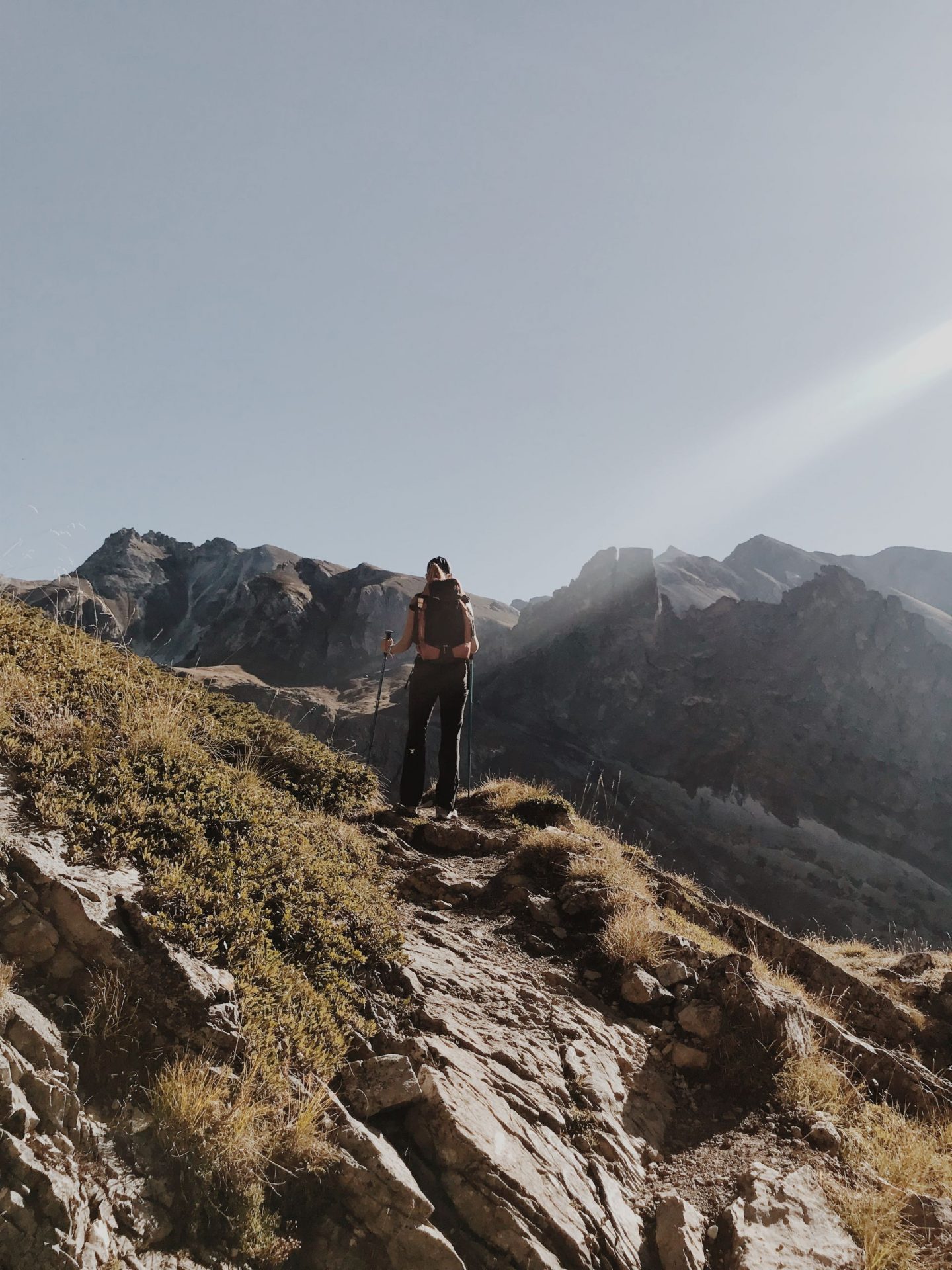
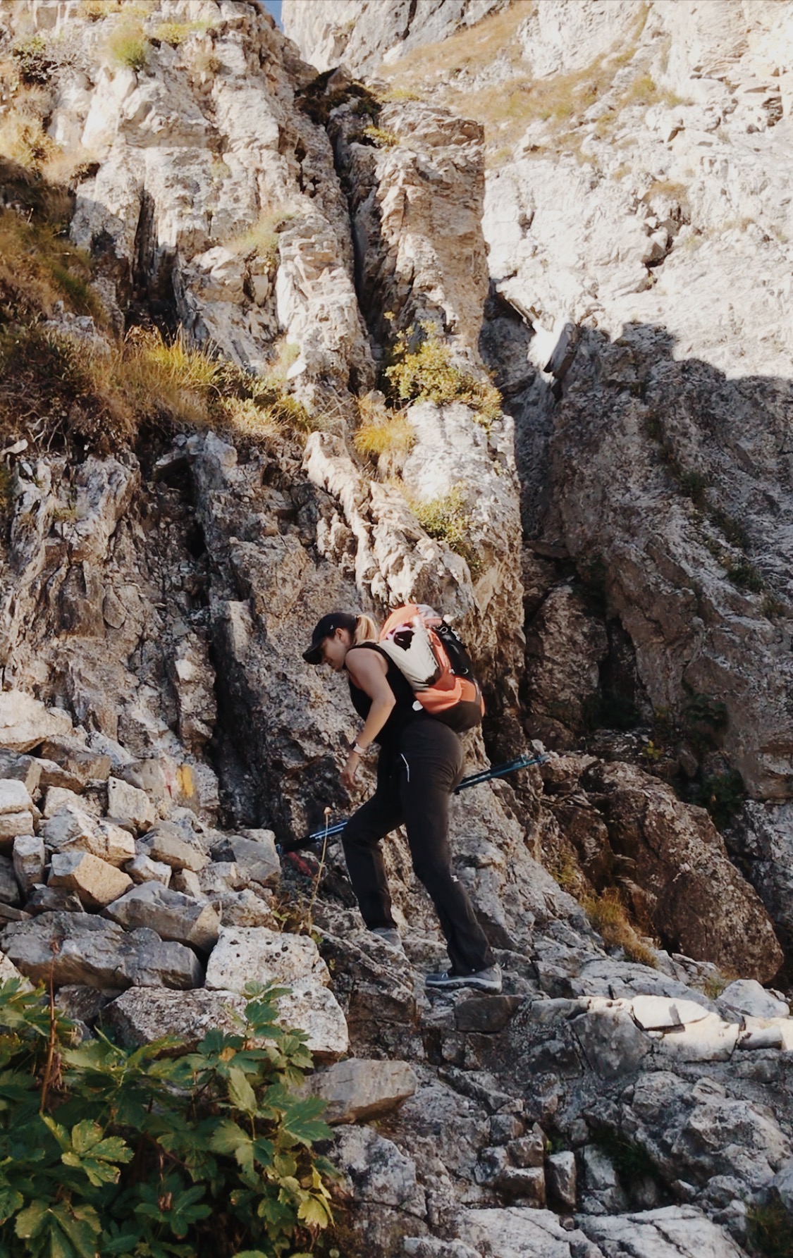
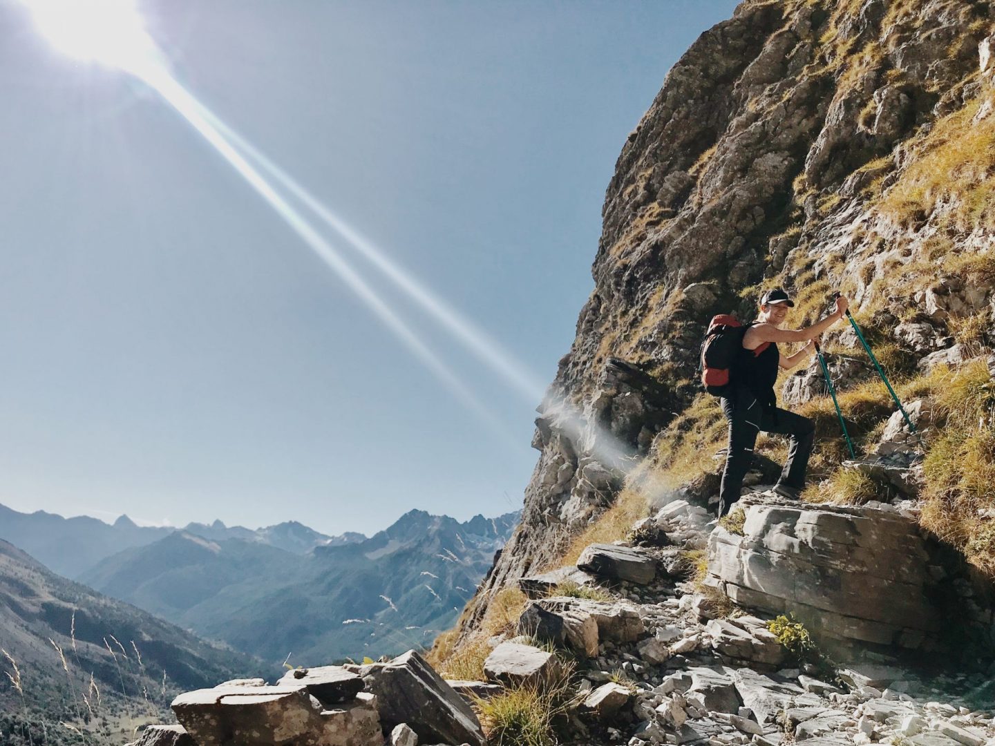
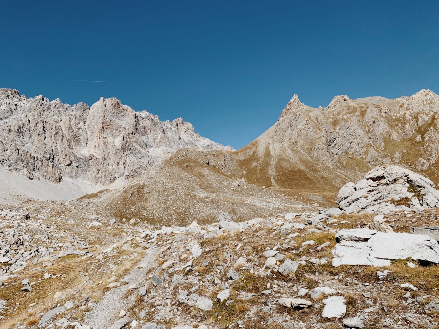
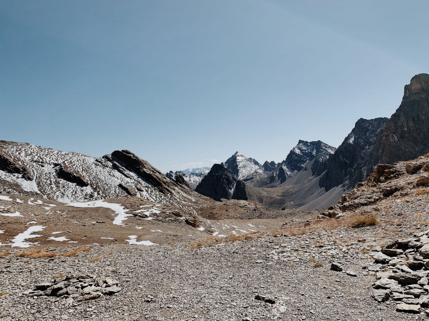
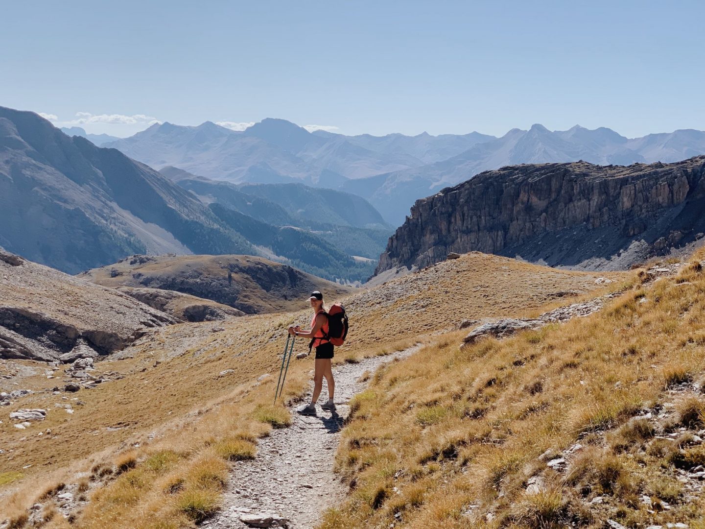
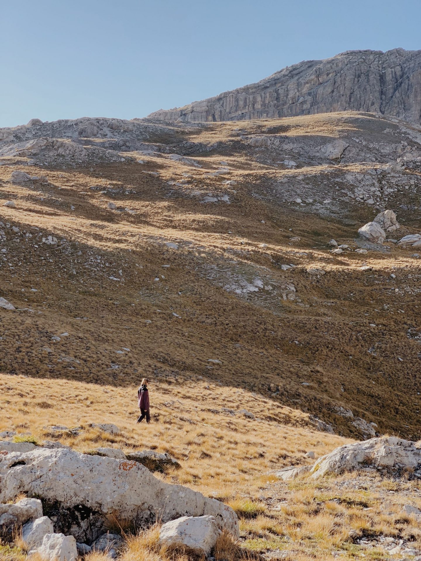
The upper part of the Vallonasso is more rocky and with lots of up and downs, with sections of the path on boulders. We now have a clear view of the great wall of reddish and vertical peaks over 3,000 m from the Brec de Chambeyron to Buc de Nubiera.
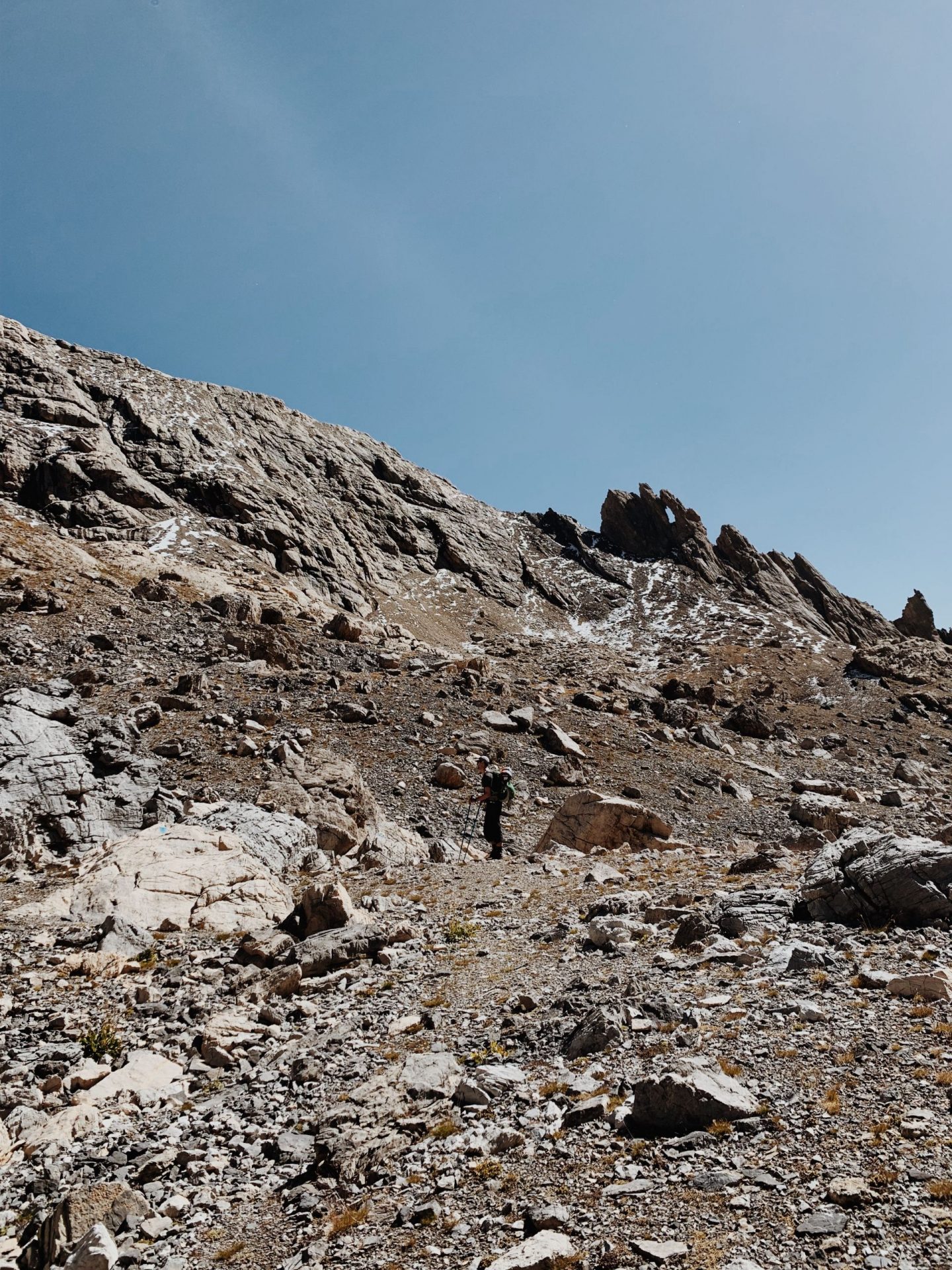
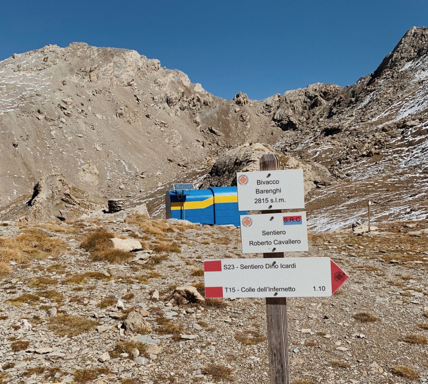
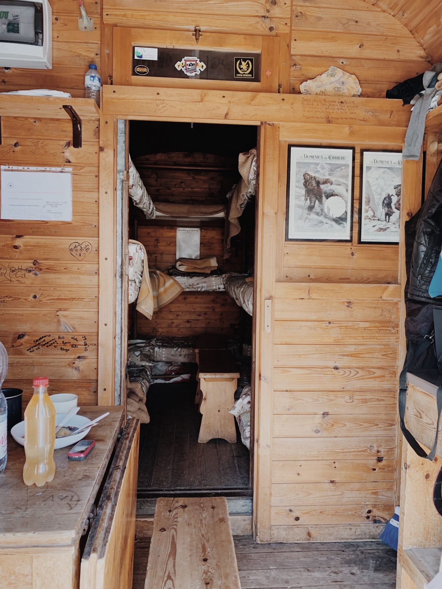
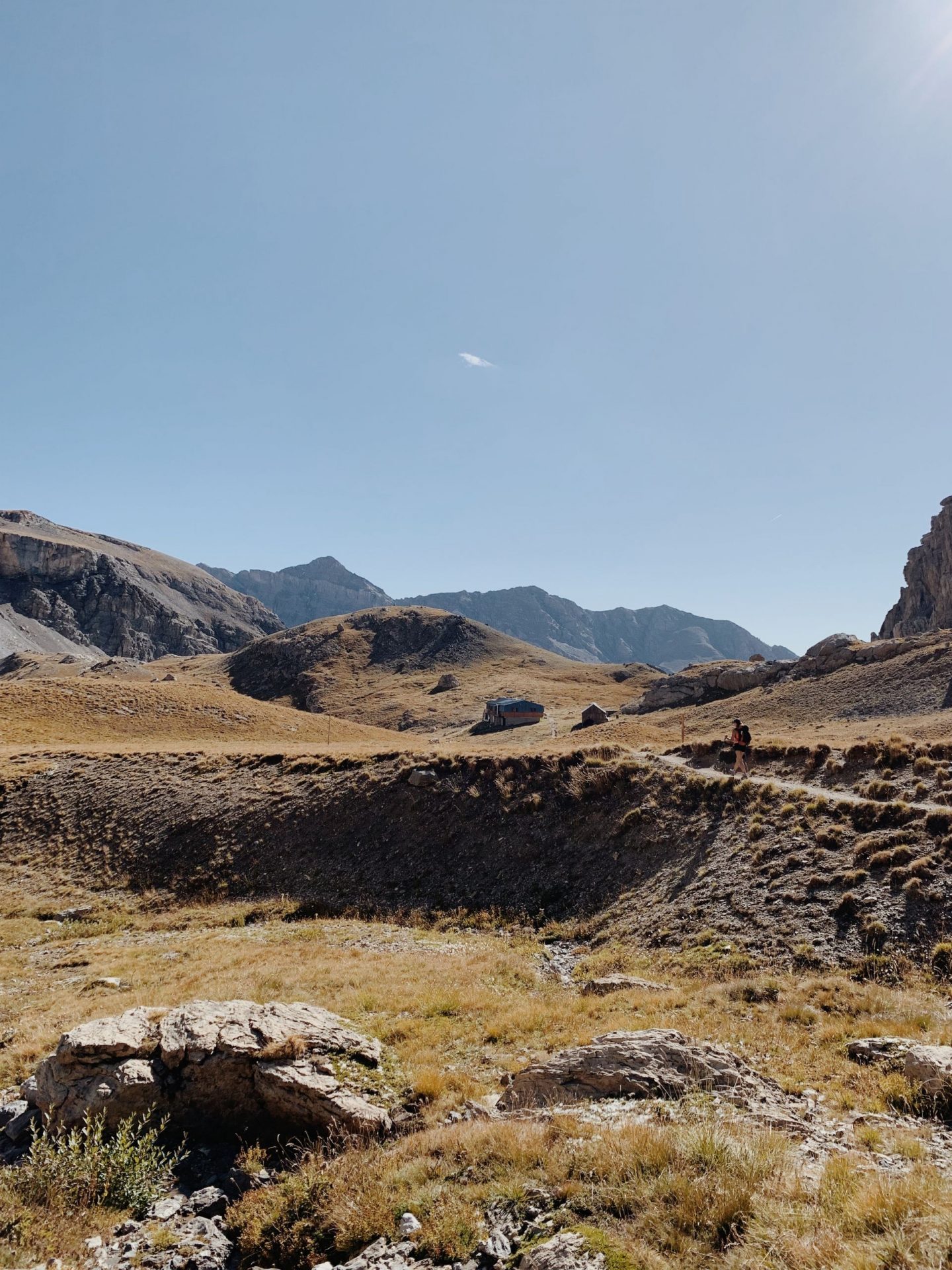
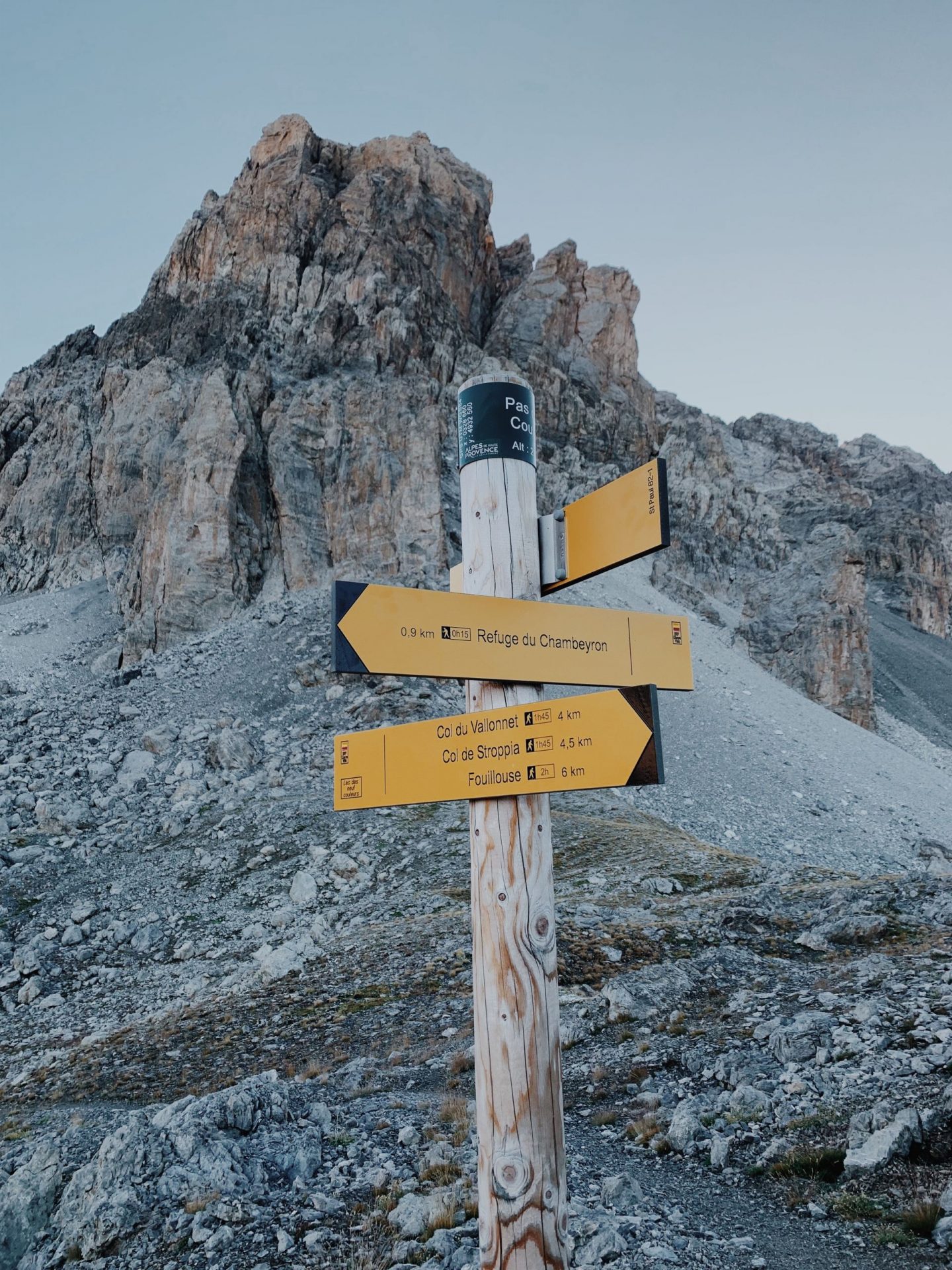
After leaving behind another trail sign – where we leave the path for Col di Nubiera on our left – we go ahead towards Gippiera pass and we soon arrive to a plateau where we can finally see the blue and yellow walls of the small Barenghi Bivouac – our second milestone.
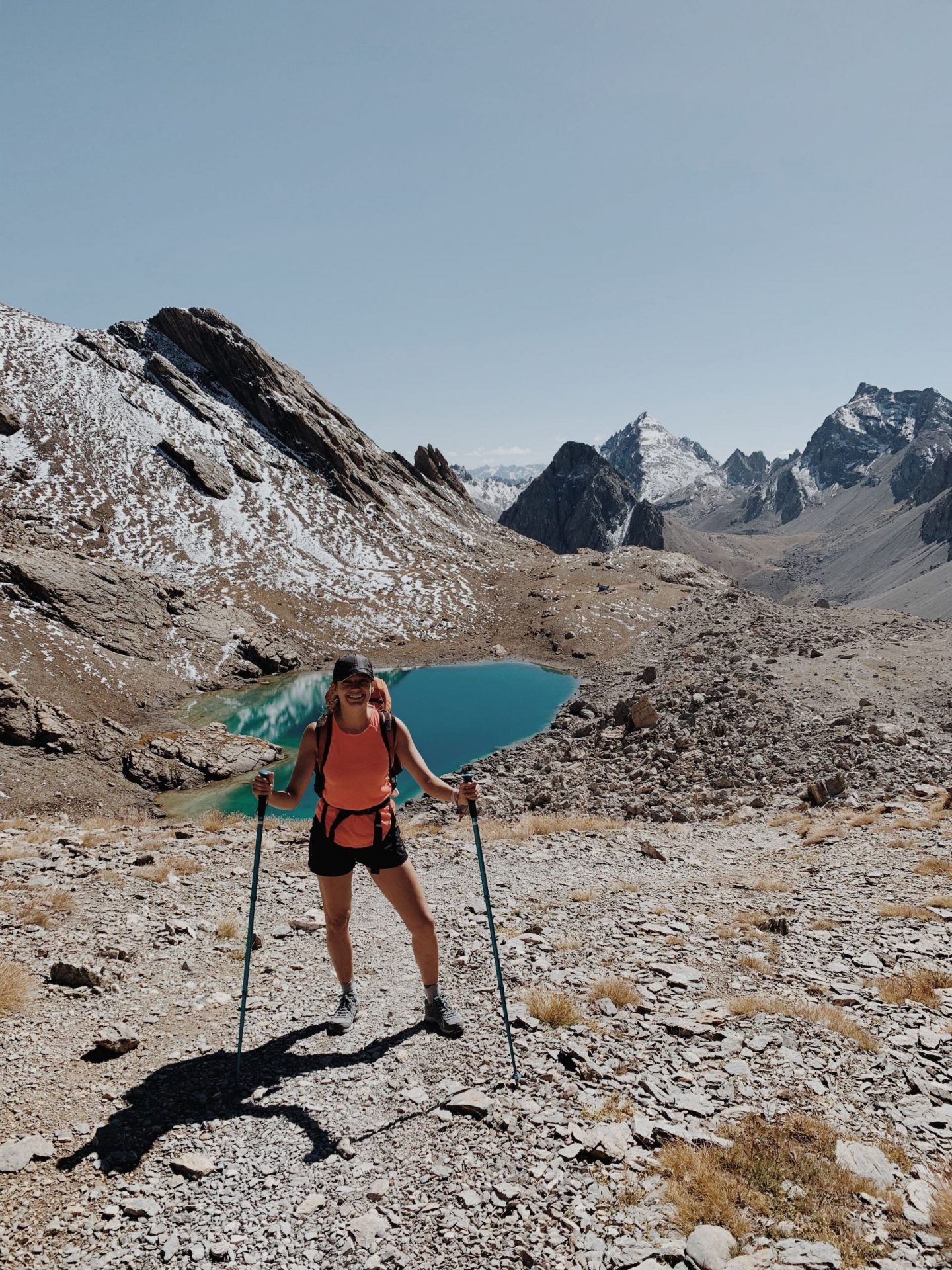
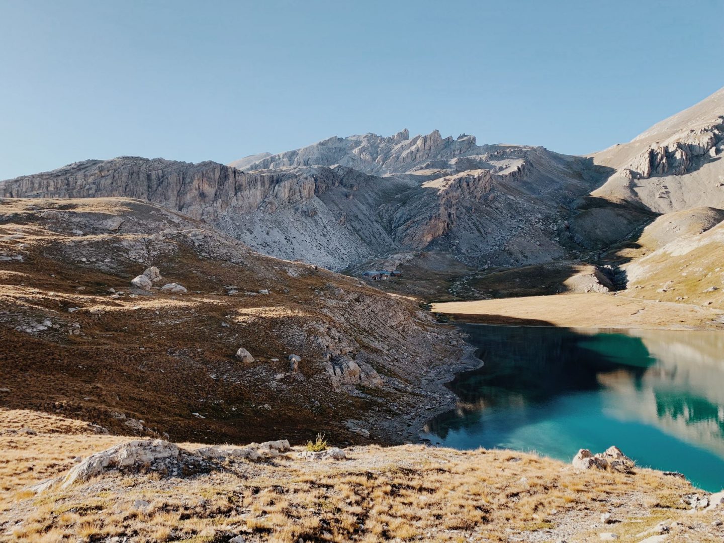
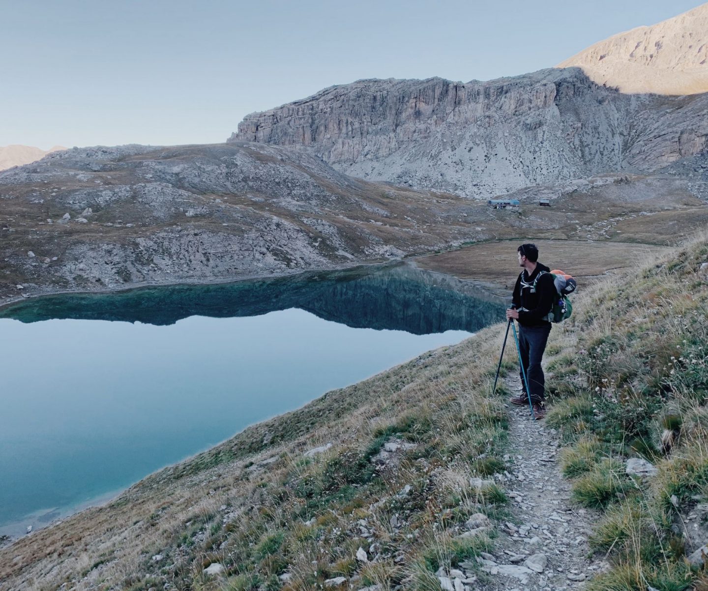
It’s 12 pm and we decide to stop for a bite by the beautiful bank side of the Lake of the Vallonasso. We look around and the landscape is pretty epic: the east wall of the Brec de Chambeyron stands out on our left – which is the side from which alpinists climb up to the summit – in front of us there’s the Tête de la Frema – which we’ll try to summit today 3,142 m – and on our right we can see the peak of the Finestra (Cima della Finestra) which take its name – window – from the curious hole in the rock right on the top.
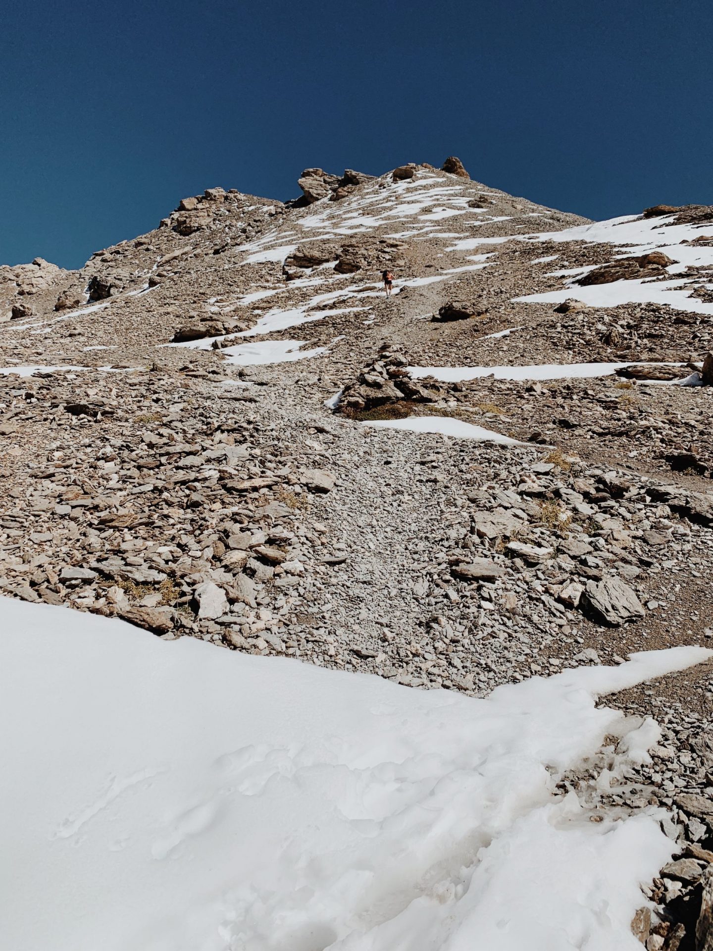
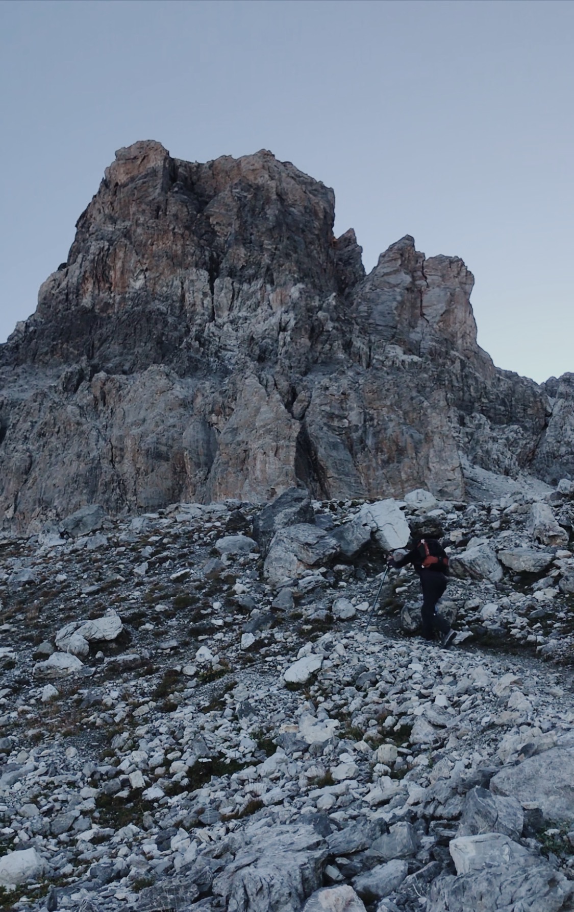
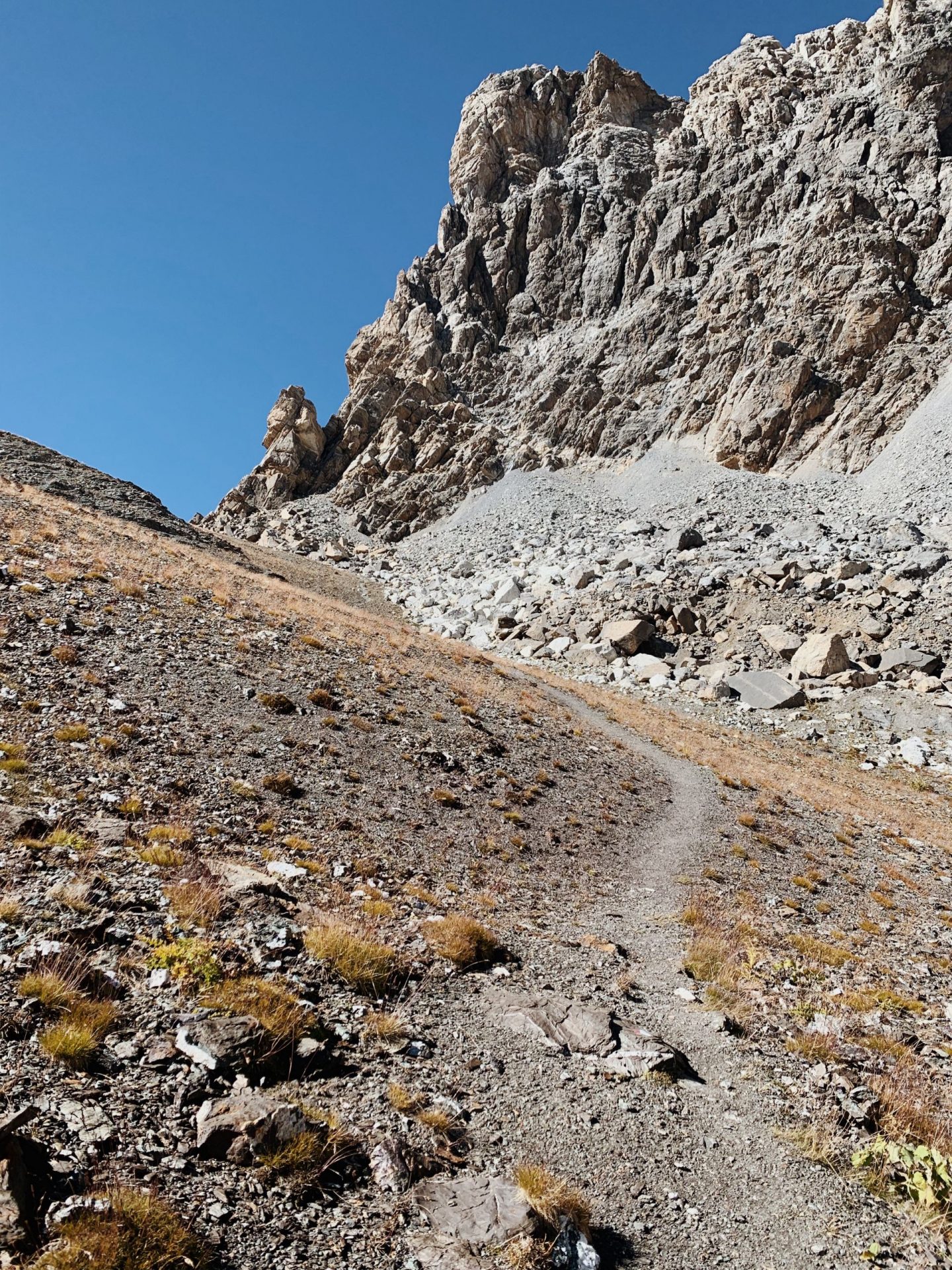
We soon start walking again: we make our way towards the Col di Gippiera first down between boulders and on scree and then up a steep path. From the Gippiera (2948 m) starts a clearly visible zigzag track that steeply climbs the western ridge of the Tête de la Frema.
The climb up is steep and on shingles. We climb over the last rocky spikes, and we get to the metal cross which marks the peak.
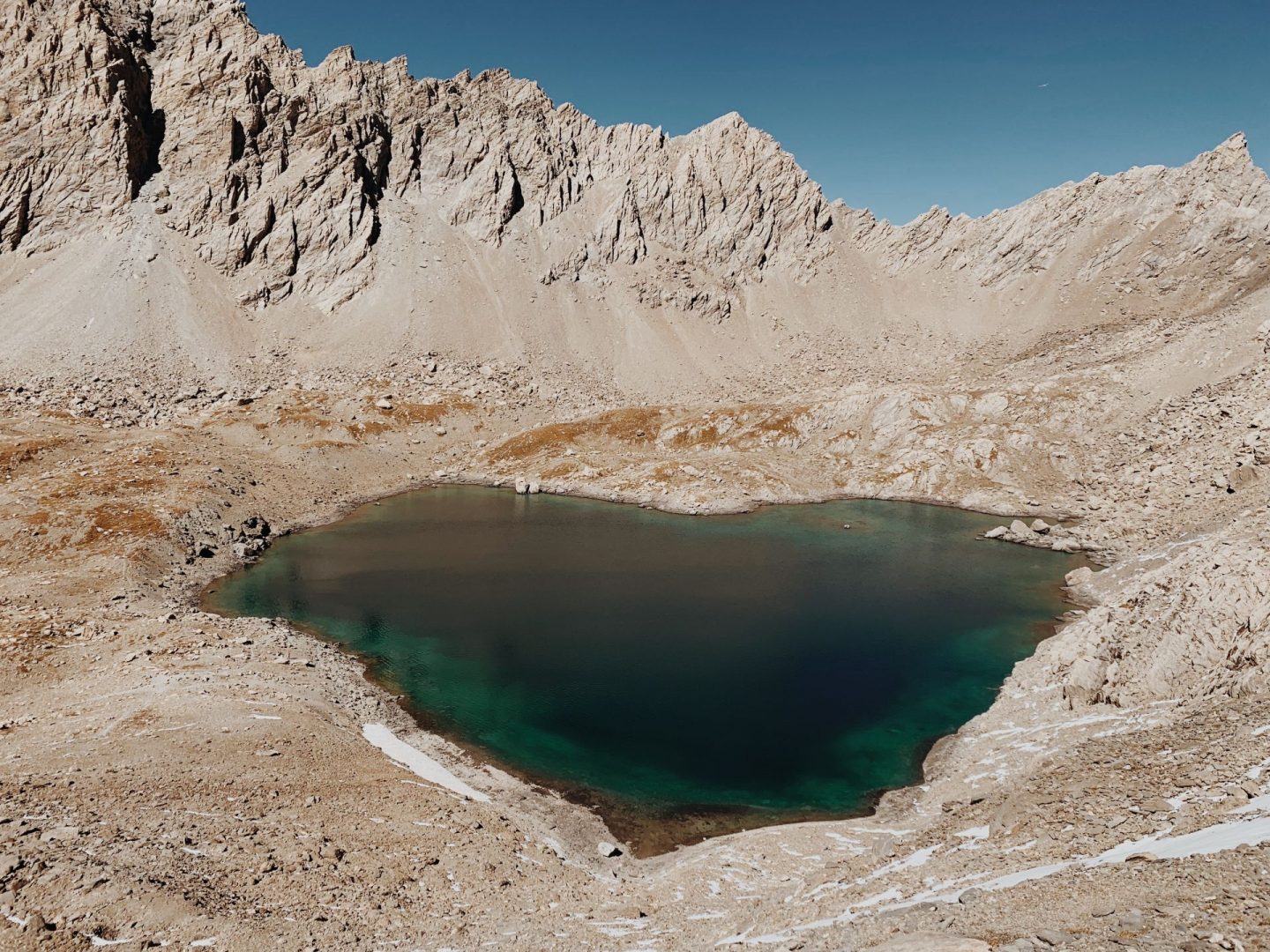
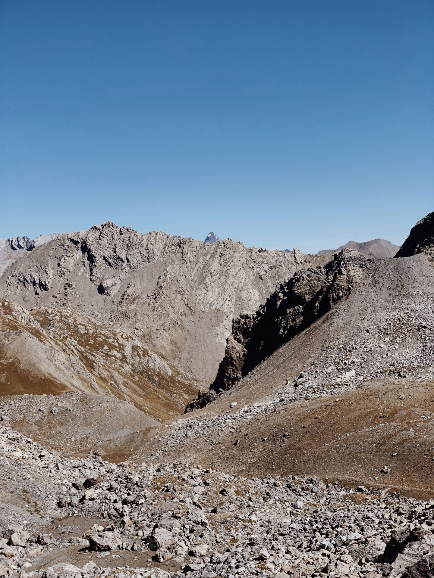
From here we take few moments to grasp the spectacular view before our eyes. We look back at the Barenghi Bivouac, now a little dot in the distance, and at the Lake of Vallonasso, which stands out turquoise among the rocks. On the French side we can see the lovely Lake of Noef Coleurs, which resembles the shape of a heart. We can also see the Col dell’Infernetto – which name “hell” might be descriptive of what walking through it might be like – and its lakes, as well as other peaks-symbols of this area.
At this point we cross the border with France and we need to descend the Col di Gippiera to get to the refuge du Chambeyron (2681 m), where we are staying for the night.
I was quite surprise to find the way down full of snow, which we need to pay extra attention to cross.
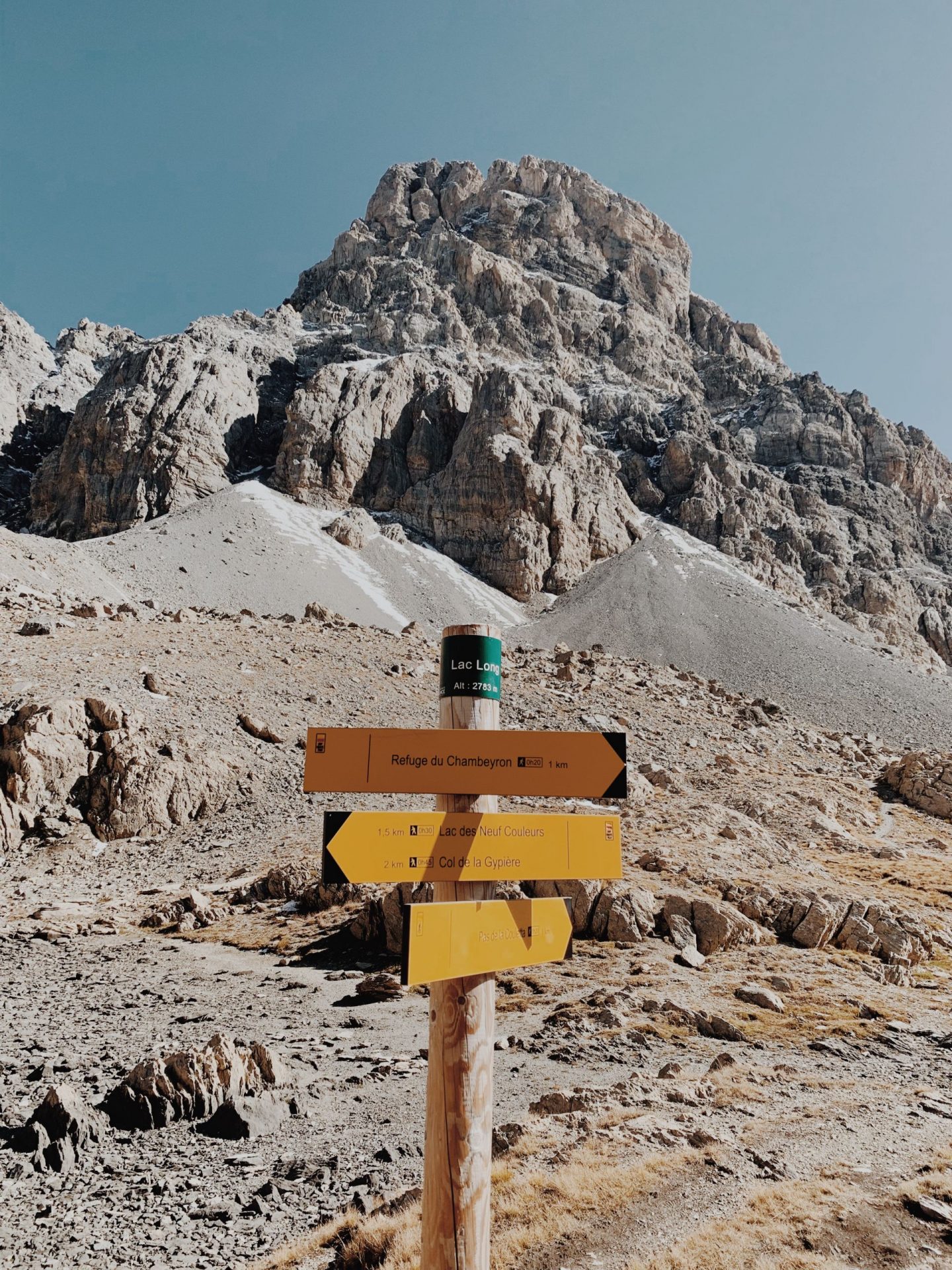
We then follow the indication for Lac Long which we reach without any problems in 30 minutes.
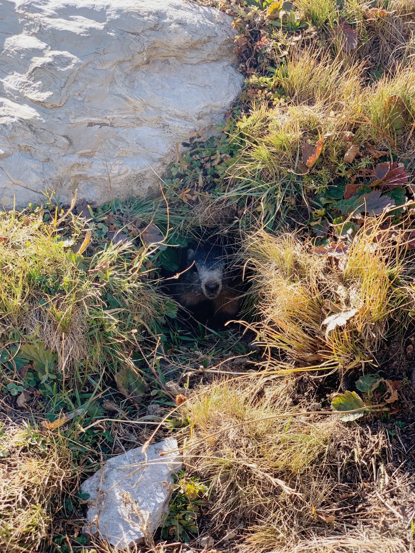
This Lake is dominated by the imposing peak of the Brec. From here the trail is easy and very well marked. We walk across grassy meadows and funny marmots warning each other of our presence with their distinctive whistle.
After another 30 minutes walk we glimpse the outline of the refuge and the beautiful basin of Lac Premier right next to it. We lose several meters of elevation to reach the hut, but our tired bodies look forward to sit in front of a nice hot cuppa.
The hut is very simple, comprised of two main rooms: the dining area and the dormitory. We drop our bags by a not-yet-claimed bunk bed and change into non-so smelly clothes.
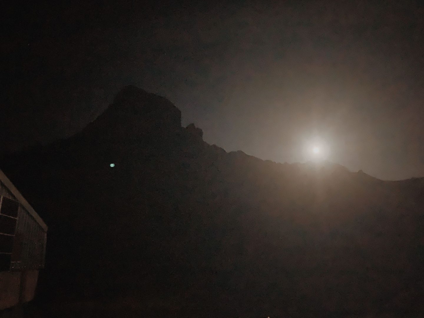
Typically on a day hike you want to be off the mountains before it gets dark, so we never get to see the sun setting on the peaks. Being up there is pretty special. After a brief exploration walk around the lake, we sit on top of a hill to fully enjoy the golden hour.
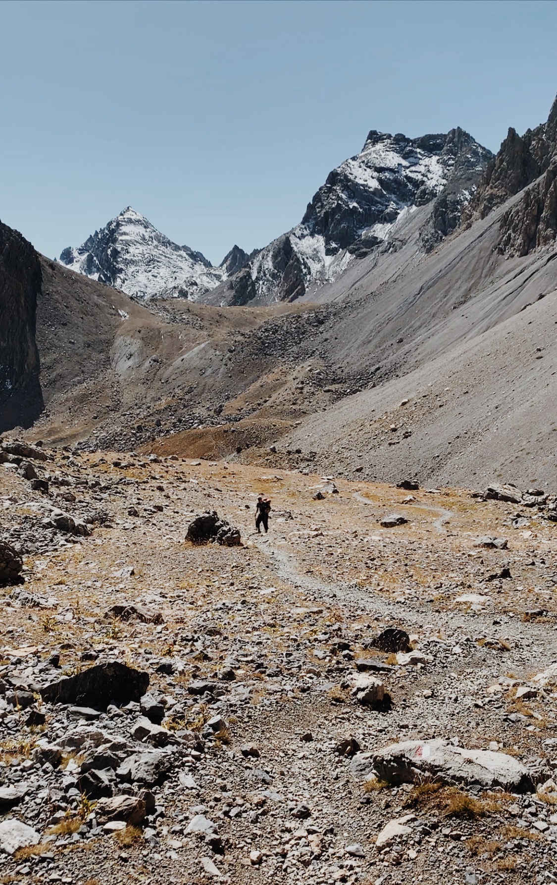
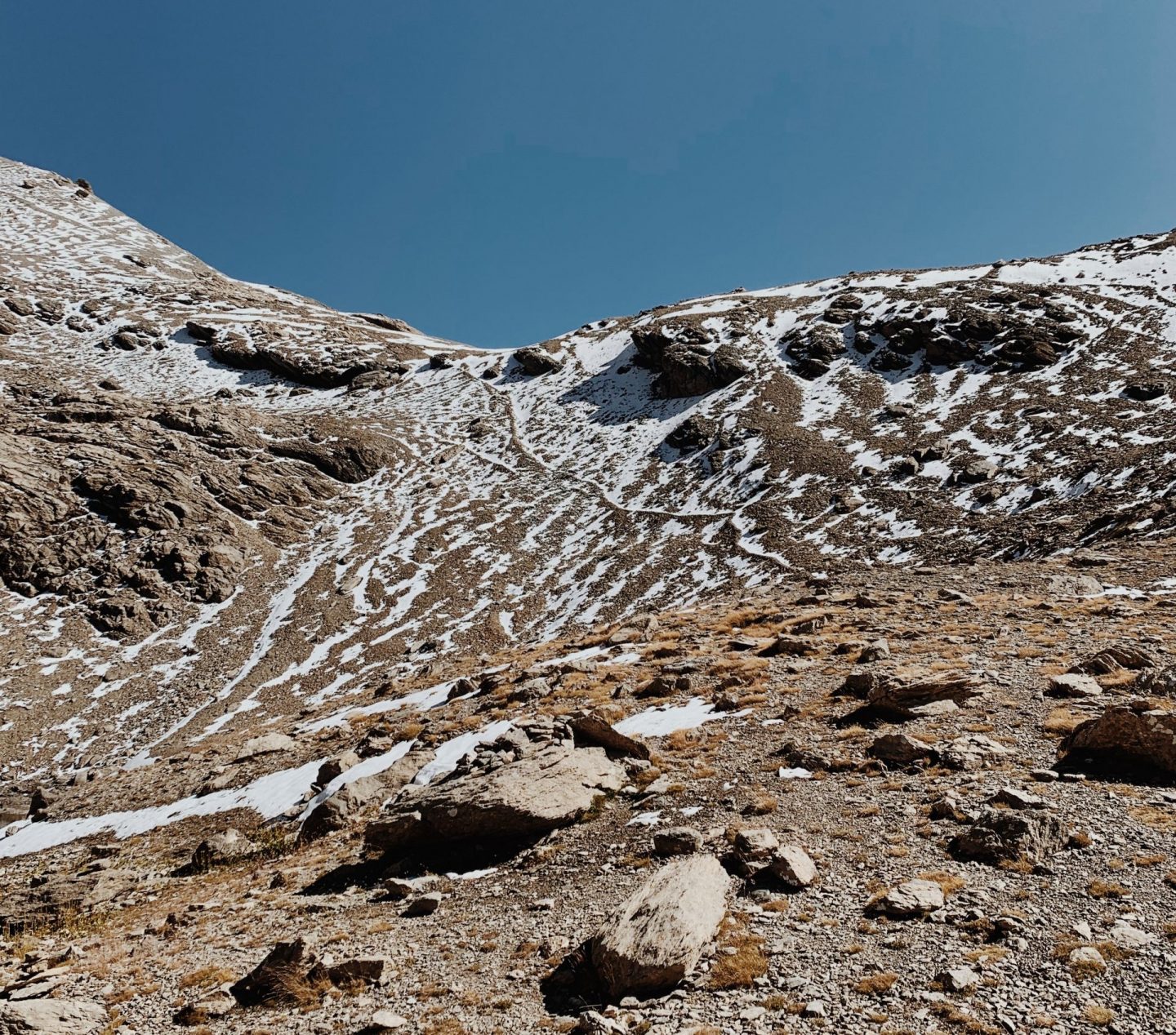
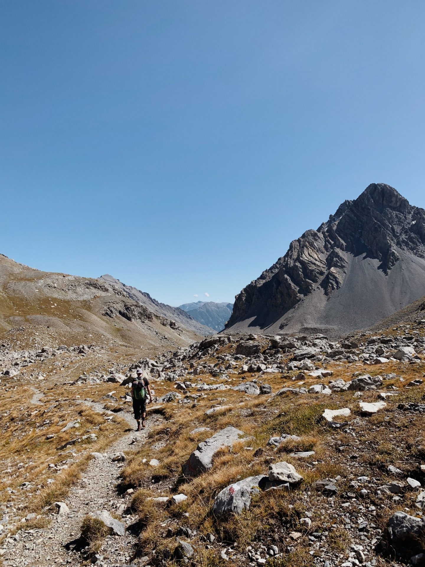
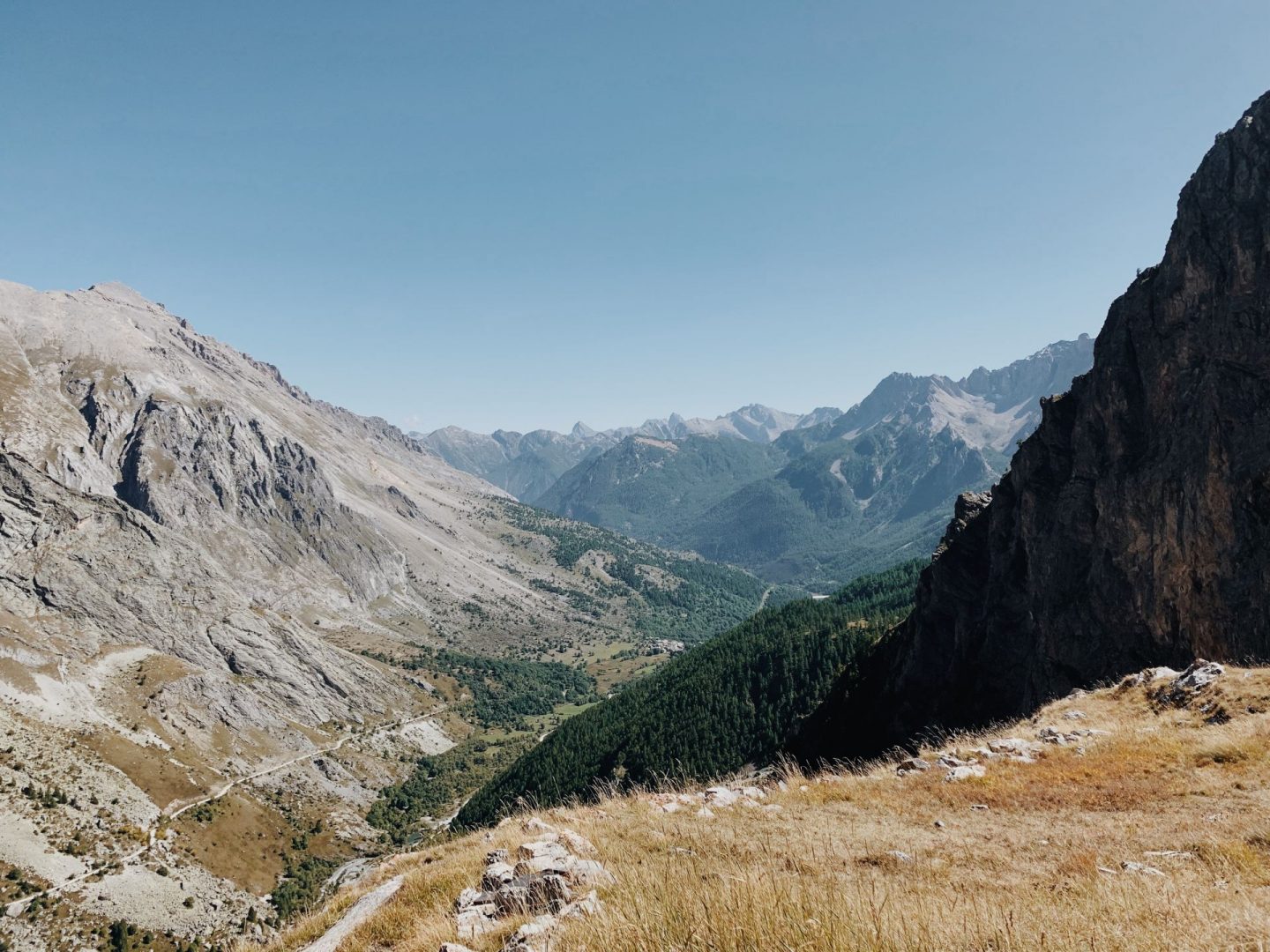
We are up and on our way at the crack of dawn. The beauty surrounding us is striking even if the sun rays haven’t yet reached the valley. Maybe it is a good thing because our path starts again with a climb up to the Pas de la Couletta – 2752 m. We wave a final goodbye to the refuge and to the Brec’s peak – this is the closest we’d get to it in our walk – which we’ll leave behind to start a long descend in the Vallon des Aoupets.
The way down begins on boulders and we need to be careful not to lose the trail, but from here we manage to spot some antelopes and – of course – more marmots.
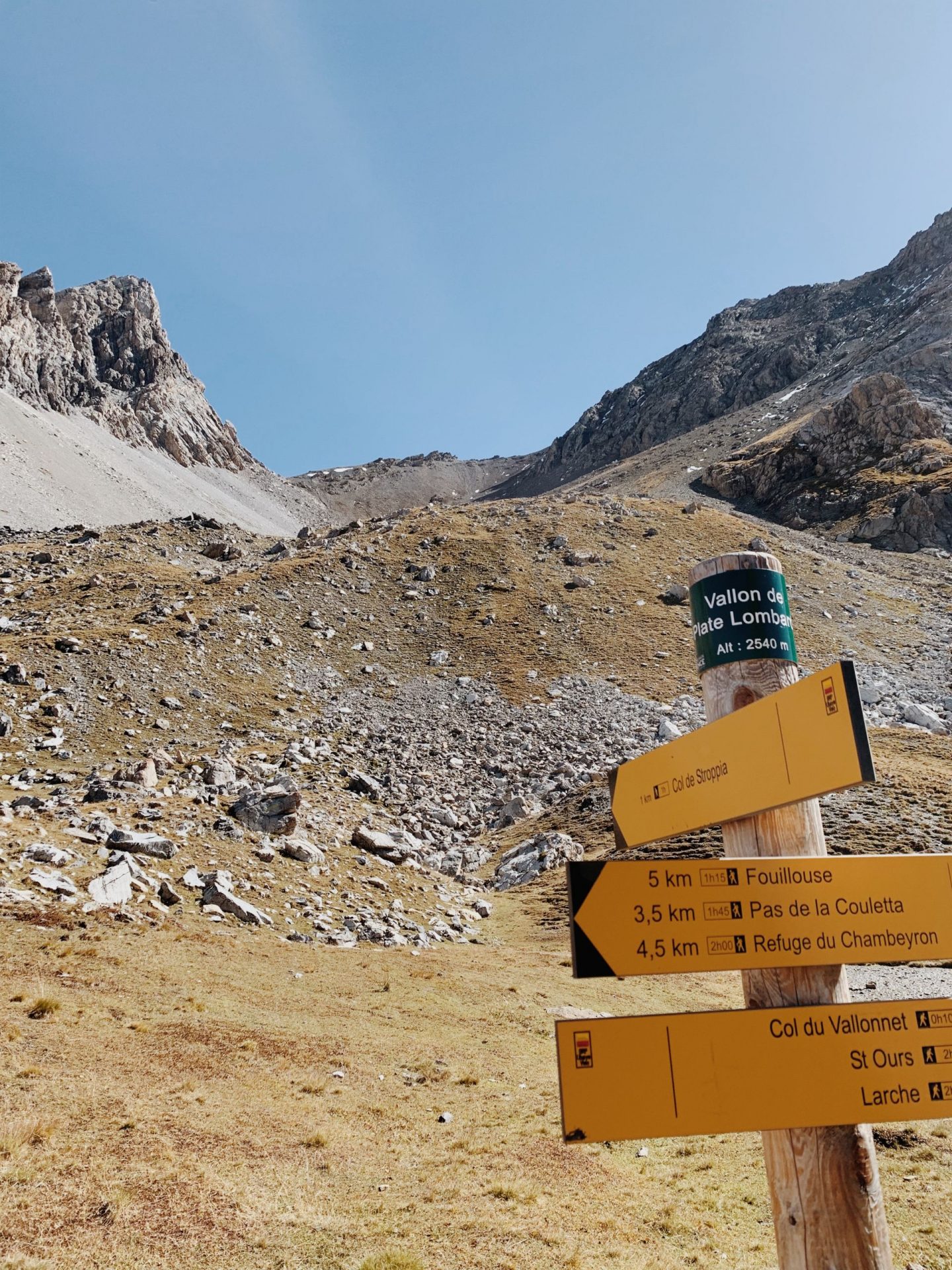
As we find the well marked trail again we descend to the bottom of the valley without any troubles – we lose again 400 m elevation – and we get to a sign post which inform us that we are only 40 minutes away from the Col du Vallonet – first milestone of the day.
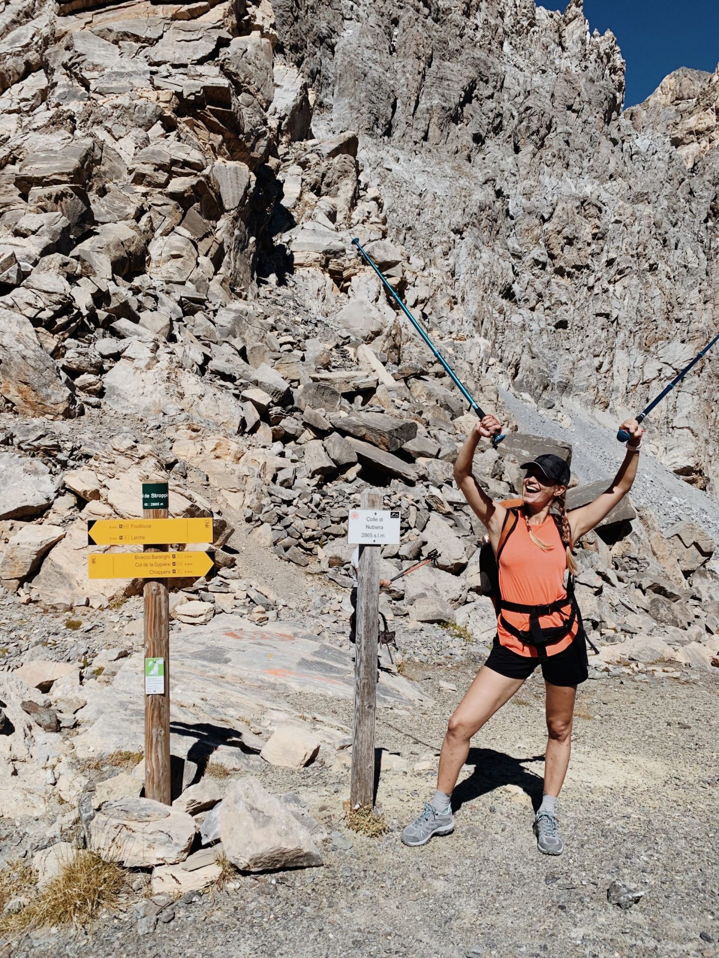
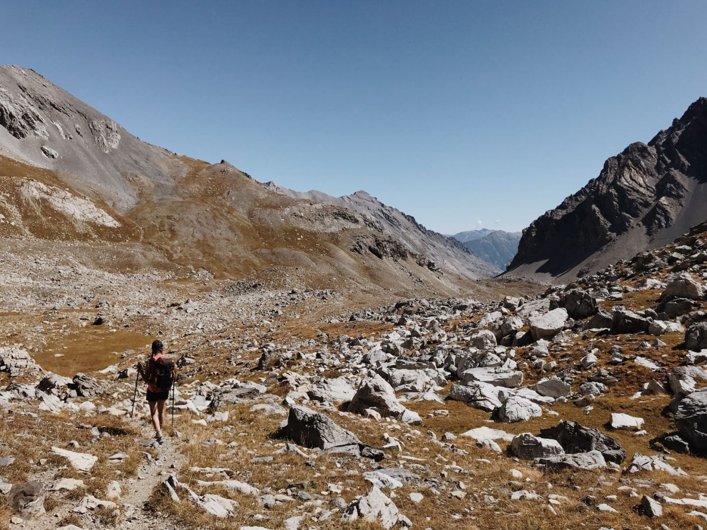
From the Vallon de Plate Lombarde starts the steep climb up to the Col di Nubiera (Col de Stroppia for the French) – 2865m – which will take us back on the Italian side.
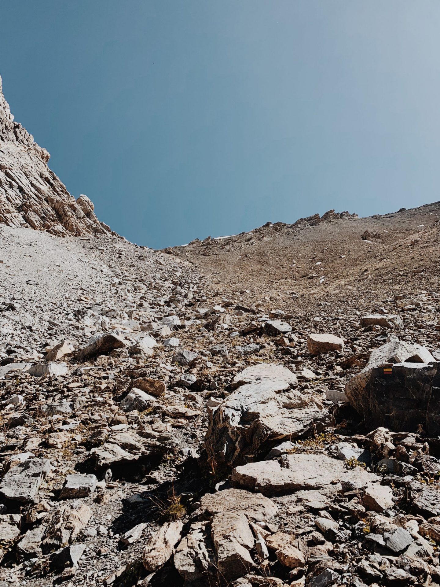
This feels like the steepest climb of all our walk – we have to regain 350m elevation in a very short distance. The last 80 meters are all on rocks and scree.
We are stopping here for lunch before descending the Italian slope, which is much less abrupt.
At this point we join part of the Blue-Red path Roberto Cavallero. We ignore the indication for Col de Sautron and we continue towards the Vallonasso di Stroppia.
We then close the ring around the Brec de Chambeyron rejoining our footsteps from the day before. The now familiar yellow-blue paint trail take us to the Refuge of Stroppia where we catch our breath before descending the last leg of the path. This part downhill is pretty sketchy – same as on the way up but more slippery on the way down – again on rocks and scree.
It’s almost 4 pm and we get to Chiappera just on time for sunset.

